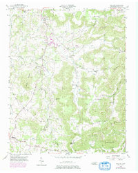
1955 Map of Okalona
USGS Topo · Published 1979About this map
The Roaring River winds through a landscape of deep limestone coves and steep ridges in this mid-century look at Overton County. The settlement at Okalona serves as a central point along the river, surrounded by several smaller mountain communities like Highland and Oak Hill. The map reveals a high concentration of community life centered around small country churches and schools, such as Pleasant Valley Sch, Bethlehem Ch, and Union Hill Ch. Unusual local landmarks include a County Home, a Fish Hatchery, and even a Drive-in Theater, reflecting the diverse social infrastructure of the era.
Find a feature on this map
44 named features on this map. Tap any name to fly to it.
Don’t see what you’re looking for? This feature index may not catch every label — zoom into the map to look around manually.
Map Details
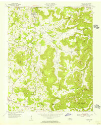
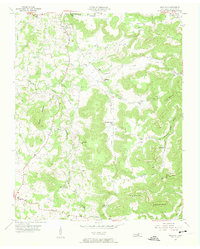
Editions of this 1955 Okalona Map
3 editions found
Other maps of this area

1897 · Standingstone
USGS Topo · 1:125,000

1898 · Standingstone
USGS Topo · 1:125,000

1943 · Cookeville
USGS Topo · 1:100,000

1944 · Cookeville
USGS Topo · 1:100,000

1944 · Livingston
USGS Topo · 1:24,000

1946 · Obey City
USGS Topo · 1:24,000
1950 · Obey City
USGS Topo · 1:24,000

1951 · Windle
USGS Topo · 1:24,000

1953 · Cookeville East
USGS Topo · 1:24,000

1954 · Crawford
USGS Topo · 1:24,000