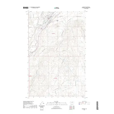
2020 Map of Okanogan
USGS Topo · Published 2020About this map
The city of Okanogan serves as the focal point for this survey, situated along the banks of the Okanogan River where the Okanogan County Courthouse stands as a primary landmark. The terrain rises sharply away from the river valley, leading to high-elevation points like Jackass Butte and the winding course of Felix Cr. This 2020 map documents the modern layout of the county seat, showing the density of its street grid including Railroad Ave and Apple Way Rd, while also detailing the surrounding rural landscape where ranching and mountain roads prevail.
Find a feature on this map
60 named features on this map. Tap any name to fly to it.
Don’t see what you’re looking for? This feature index may not catch every label — zoom into the map to look around manually.
Map Details
Editions of this 2020 Okanogan Map
This is the sole edition of this map. No revisions or reprints were ever made.
Other maps of this area

1905 · Okanogan
USGS Topo · 1:125,000

1950 · Boot Mtn
USGS Topo · 1:62,500

1953 · Omak Lake
USGS Topo · 1:62,500

1954 · Okanogan
USGS Topo · 1:250,000

1957 · Okanogan
USGS Topo · 1:62,500

1957 · Bridgeport
USGS Topo · 1:62,500

1958 · Okanogan
USGS Topo · 1:250,000

1980 · Okanogan
USGS Topo · 1:24,000
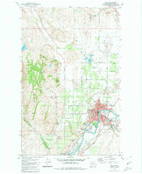
1980 · Omak
USGS Topo · 1:24,000
1980 · Joe Lake
USGS Topo · 1:24,000