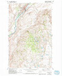
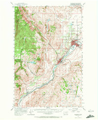
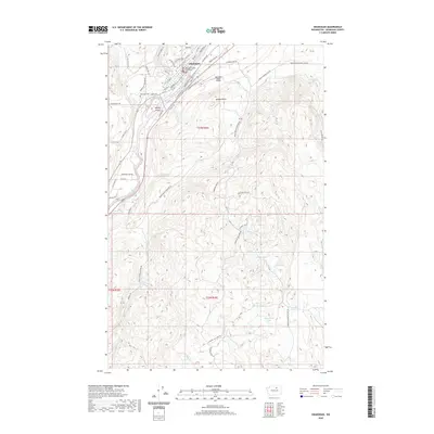
1980 Map of Okanogan
USGS Topo · Published 1993About this map
The Okanogan River carves a deep valley through this landscape, separating the municipal heart of Okanogan from the high plateaus to the east. As seen in the early 1980s, the town's grid is concentrated along the western bank, featuring local landmarks like Alma Park and the Museum. This map documents a critical intersection of political and natural boundaries, as the southeastern quadrant is dominated by the Colville Indian Reservation.
Find a feature on this map
25 named features on this map. Tap any name to fly to it.
Don’t see what you’re looking for? This feature index may not catch every label — zoom into the map to look around manually.
Map Details
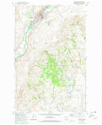
Editions of this 1980 Okanogan Map
2 editions found
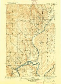
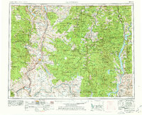
Historical Maps of Okanogan Through Time
10 maps found
1905 Okanogan
Okanogan County, WA
1954 Okanogan
Okanogan County, WA
1957 Okanogan
Okanogan County, WA

1958 Okanogan
Okanogan County, WA
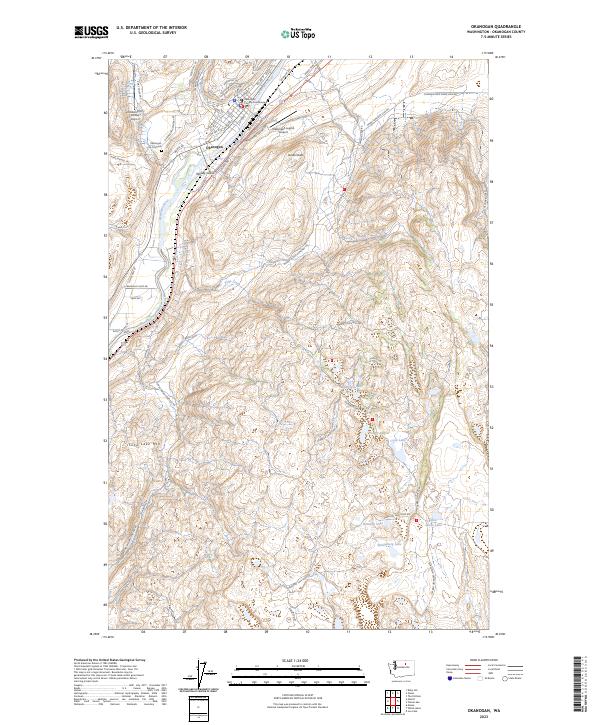
1980 Okanogan
Okanogan County, WA
2011 Okanogan
Okanogan County, WA
2014 Okanogan
Okanogan County, WA
2017 Okanogan
Okanogan County, WA
2020 Okanogan
Okanogan County, WA
2023 Okanogan
Okanogan County, WA