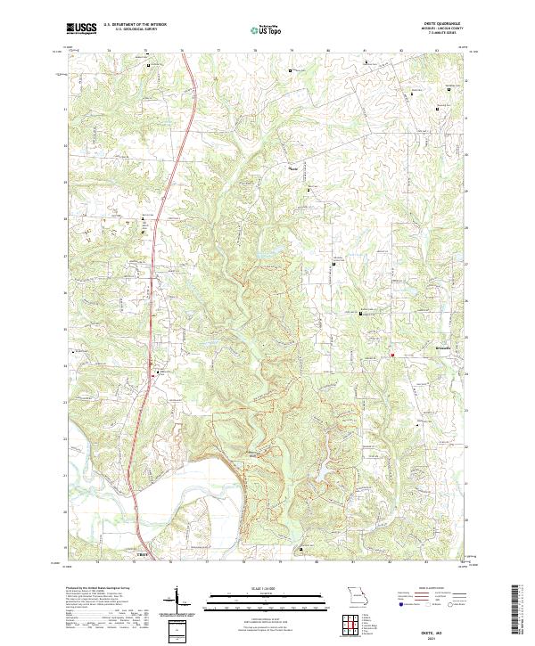
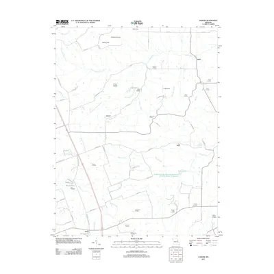
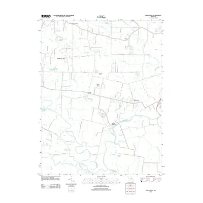
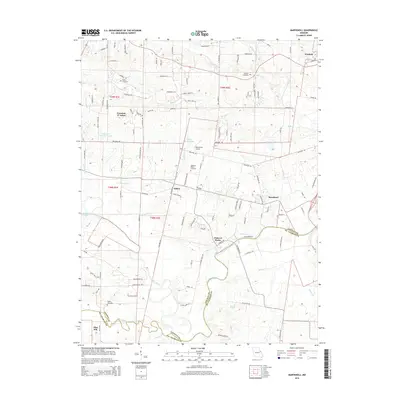
2021 Map of Okete
USGS Topo · Published 2021About this map
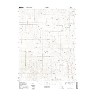
Frenchman Bluff rises above the Cuivre River Trl in this part of Lincoln County, where the landscape is defined by the winding course of Sugar Cr and Little Sugar Cr. This 2021 survey shows a rural environment deeply rooted in its local history, evidenced by a high density of family and community burial grounds including Auburn Cem, Gladney Cem, and the Old Morris Cem.
Find a feature on this map
163 named features on this map. Tap any name to fly to it.
Don’t see what you’re looking for? This feature index may not catch every label — zoom into the map to look around manually.
Map Details
Editions of this 2021 Okete Map
This is the sole edition of this map. No revisions or reprints were ever made.
Historical Maps of Troy Through Time
26 maps found
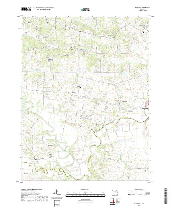
1972 Maryknoll
Lincoln County, MO
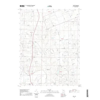
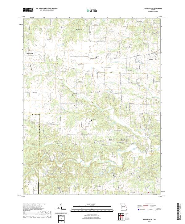
1973 Warrenton NE
Lincoln County, MO
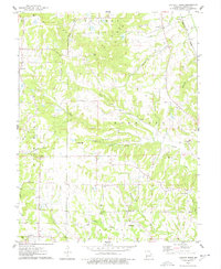
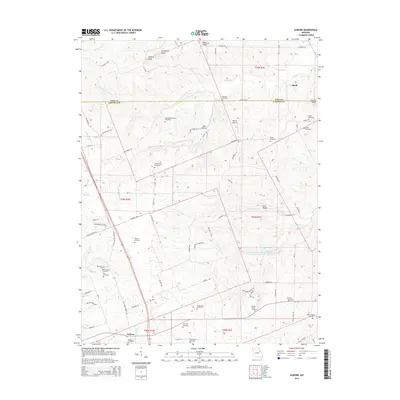
1975 Auburn
Lincoln County, MO
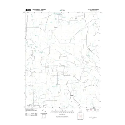
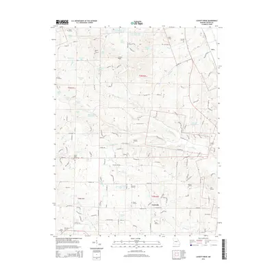
1975 Luckett Ridge
Lincoln County, MO
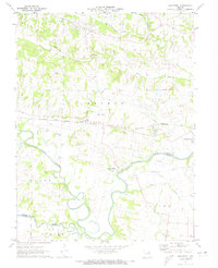
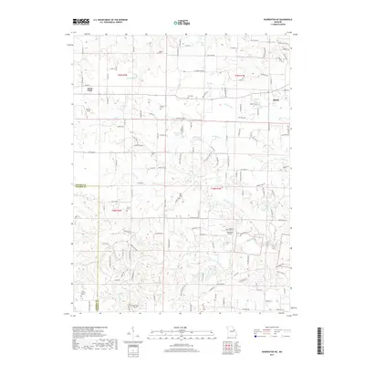
1975 Okete
Lincoln County, MO
1979 Maryknoll
Lincoln County, MO
2011 Auburn
Lincoln County, MO
2011 Luckett Ridge
Lincoln County, MO
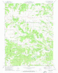
2011 Okete
Lincoln County, MO
2012 Maryknoll
Lincoln County, MO
2012 Warrenton NE
Lincoln County, MO
2014 Auburn
Lincoln County, MO
2014 Luckett Ridge
Lincoln County, MO
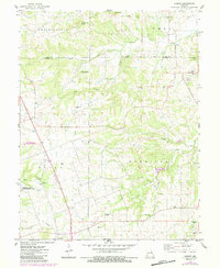
2014 Okete
Lincoln County, MO
2015 Maryknoll
Lincoln County, MO
2015 Warrenton NE
Lincoln County, MO
2017 Auburn
Lincoln County, MO
2017 Luckett Ridge
Lincoln County, MO
2017 Maryknoll
Lincoln County, MO
2017 Okete
Lincoln County, MO
2017 Warrenton NE
Lincoln County, MO
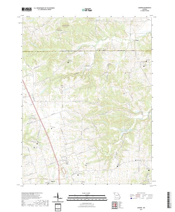
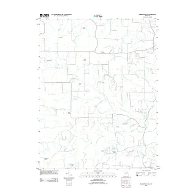
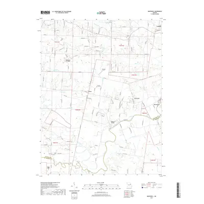
2021 Auburn
Lincoln County, MO
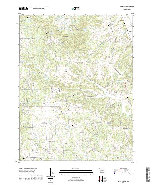
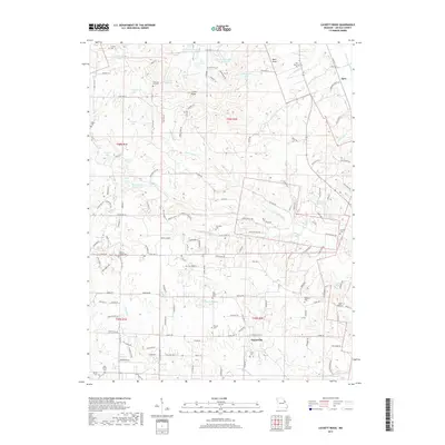
2021 Luckett Ridge
Lincoln County, MO
2021 Maryknoll
Lincoln County, MO
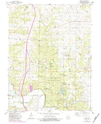
2021 Okete
Lincoln County, MO
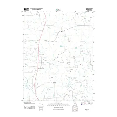
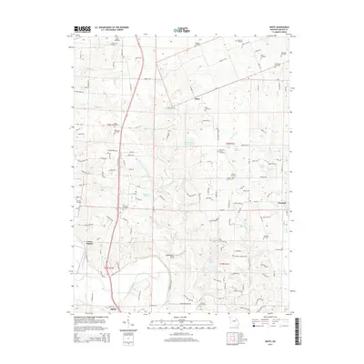
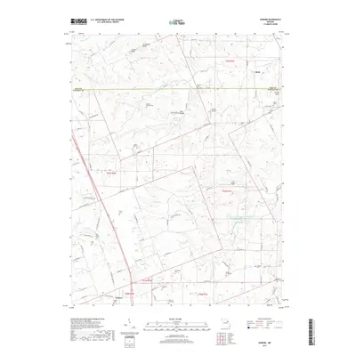
2021 Warrenton NE
Lincoln County, MO