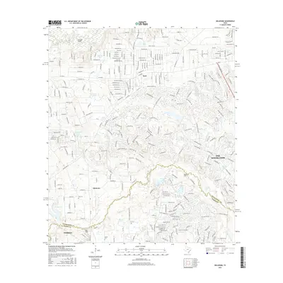
2016 Map of Oklahoma
USGS Topo · Published 2016About this map
The border of Montgomery and Harris counties defines the southern portion of this landscape, where suburban expansion meets the ecological network of the Spring Creek and Lake Creek watersheds. The settlement of The Woodlands dominates the eastern section, showing a dense residential street pattern including Alden Bridge Drive and Research Forest Drive. In contrast, the western and central areas near Oklahoma and Egypt maintain a more distributed character, preserving older landmarks such as Pate Cemetery and Zion Cemetery. This 2016 survey documents the complex intersection of master-planned development and historical rural sites, where large-scale communities like Indian Hills and various local ponds, including Magnolia Branch Long Lake and Schweinle Lake, coexist along the expanding corridors of FM 1488 Road and FM 2978 Road.
Find a feature on this map
193 named features on this map. Tap any name to fly to it.
Don’t see what you’re looking for? This feature index may not catch every label — zoom into the map to look around manually.
Map Details
Editions of this 2016 Oklahoma Map
This is the sole edition of this map. No revisions or reprints were ever made.
Other maps of this area

1916 · Rose Hill
USGS Topo · 1:24,000

1916 · Louetta
USGS Topo · 1:24,000

1916 · Spring
USGS Topo · 1:24,000

1920 · Spring
USGS Topo · 1:31,680

1920 · Rose Hill
USGS Topo · 1:31,680

1920 · Louetta
USGS Topo · 1:31,680

1954 · Beaumont
USGS Topo · 1:250,000

1957 · Beaumont
USGS Topo · 1:250,000

1958 · Conroe
USGS Topo · 1:24,000

1958 · Cowl Spur
USGS Topo · 1:24,000