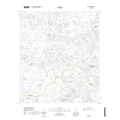
2019 Map of Oklahoma
USGS Topo · Published 2019About this map
The suburban development of The Woodlands and its surrounding communities is captured here in the late 2010s. This landscape is defined by the boundary between Montgomery and Harris counties, where dense residential neighborhoods weave through the natural waterways of Spring Creek and its tributaries like Panther Branch and Bear Branch. Despite the modern expansion of Houston and Conroe into this area, several older landmarks remain visible.
Find a feature on this map
35 named features on this map. Tap any name to fly to it.
Don’t see what you’re looking for? This feature index may not catch every label — zoom into the map to look around manually.
Map Details
Editions of this 2019 Oklahoma Map
This is the sole edition of this map. No revisions or reprints were ever made.
Other maps of this area

1916 · Rose Hill
USGS Topo · 1:24,000

1916 · Louetta
USGS Topo · 1:24,000

1916 · Spring
USGS Topo · 1:24,000

1920 · Spring
USGS Topo · 1:31,680

1920 · Rose Hill
USGS Topo · 1:31,680

1920 · Louetta
USGS Topo · 1:31,680

1954 · Beaumont
USGS Topo · 1:250,000

1957 · Beaumont
USGS Topo · 1:250,000

1958 · Conroe
USGS Topo · 1:24,000

1958 · Cowl Spur
USGS Topo · 1:24,000