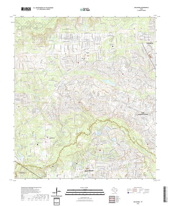
2022 Map of Oklahoma
USGS Topo · Published 2022About this map
Spring Creek forms a prominent natural boundary between Montgomery and Harris counties, anchoring a landscape where residential expansion meets traditional rural landmarks. This modern survey captures the northern reach of Houston and the western edge of The Woodlands, illustrating a dense network of suburban development surrounding established settlements like Oklahoma and Egypt. Despite the encroaching residential grid, the area retains significant genealogical markers, particularly along the winding courses of Bear Branch and Mill Creek. Numerous family and community burial grounds, including the Pate - Sanders Cemetery, Oklahoma Cemetery, and Zion Lutheran Cemetery, are preserved amidst the developing terrain. Water features such as Hoopen Pond and Bedias Lake provide focal points for local topography in this rapidly evolving part of the Texas coastal plain.
Find a feature on this map
333 named features on this map. Tap any name to fly to it.
Don’t see what you’re looking for? This feature index may not catch every label — zoom into the map to look around manually.
Map Details
Editions of this 2022 Oklahoma Map
This is the sole edition of this map. No revisions or reprints were ever made.
Other maps of this area

1916 · Rose Hill
USGS Topo · 1:24,000

1916 · Louetta
USGS Topo · 1:24,000

1916 · Spring
USGS Topo · 1:24,000

1920 · Spring
USGS Topo · 1:31,680

1920 · Rose Hill
USGS Topo · 1:31,680

1920 · Louetta
USGS Topo · 1:31,680

1954 · Beaumont
USGS Topo · 1:250,000

1957 · Beaumont
USGS Topo · 1:250,000

1958 · Conroe
USGS Topo · 1:24,000

1958 · Cowl Spur
USGS Topo · 1:24,000