2022 Map of Okoboji
USGS Topo · Published 2022About this map
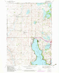
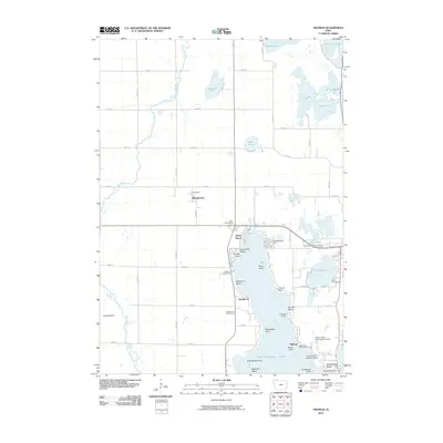
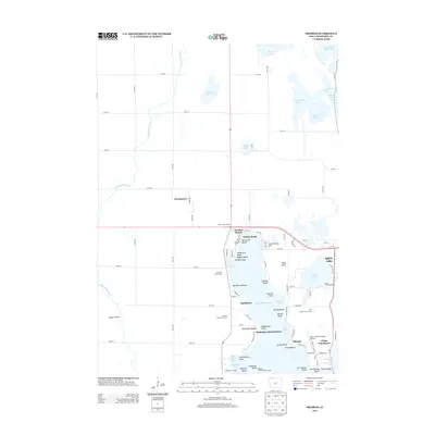
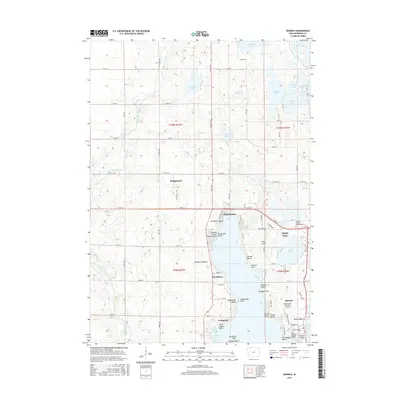
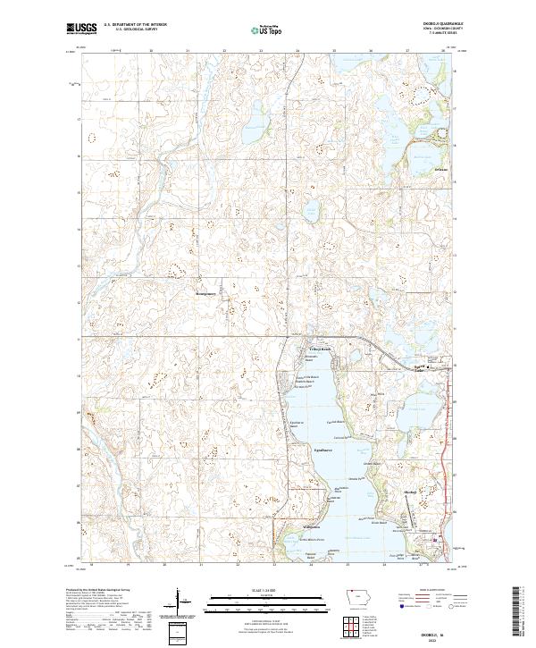
West Okoboji Lake dominates this landscape, defining a complex shoreline of points and bays that has long shaped Dickinson County's recreation and settlement. The western side of the lake is punctuated by established communities like Wahpeton and Triboji Beach, while the eastern shore transition towards the city of Okoboji and the nearby Center Lake. The intricate water system is further detailed by numerous named inlets such as Millers Bay and Echo Bay, alongside localized landmarks like Manhattan Point and Pikes Point.
Find a feature on this map
75 named features on this map. Tap any name to fly to it.
Don’t see what you’re looking for? This feature index may not catch every label — zoom into the map to look around manually.
Map Details
Editions of this 2022 Okoboji Map
This is the sole edition of this map. No revisions or reprints were ever made.
Historical Maps of Spirit Lake Through Time
6 maps found