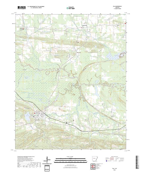
2024 Map of Ola
USGS Topo · Published 2024About this map
The Petit Jean River winds through the heart of the Yell County landscape, creating a complex network of wetlands and oxbows such as Cane Island Slough and Keeland Slough. The town of Ola serves as a central hub, situated near the shores of Lake Ola-dale and framed by the rising elevations of Danville Mountain and Ola Mtn. This area reflects a long-standing rural settlement pattern, with several family and community burial grounds, including Sandlin Cem, Oakland Cem, and Ringer Cem, scattered among the drainages of Ward Creek and Pond Creek.
Find a feature on this map
102 named features on this map. Tap any name to fly to it.
Don’t see what you’re looking for? This feature index may not catch every label — zoom into the map to look around manually.
Map Details
Editions of this 2024 Ola Map
This is the sole edition of this map. No revisions or reprints were ever made.
Other maps of this area

1888 · Dardanelle #4
USGS Topo · 1:62,500

1888 · Dardanelle #3
USGS Topo · 1:62,500

1890 · Hot Springs
USGS Topo · 1:125,000

1890 · Dardanelle
USGS Topo · 1:125,000

1894 · Hot Springs
USGS Topo · 1:125,000

1955 · Little Rock
USGS Topo · 1:250,000

1956 · Little Rock
USGS Topo · 1:250,000

1956 · Russellville
USGS Topo · 1:250,000

1960 · Little Rock
USGS Topo · 1:250,000

1964 · Russellville
USGS Topo · 1:250,000