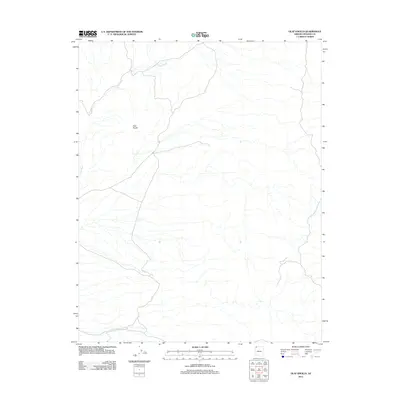
2011 Map of Olaf Knolls
USGS Topo · Published 2011About this map
Olaf Knolls rises as a prominent landmark within the drainage basin of the Grand Wash in this remote section of Mohave County. This 2011 survey illustrates a landscape defined by seasonal watercourses and desert topography, where the wide Grand Wash serves as the primary geographic corridor. The map details a network of unimproved roads and 4WD tracks that provide the only access through this arid terrain, highlighting the isolated nature of the Arizona Strip. Without named settlements or established infrastructure, the map emphasizes the natural drainage patterns and the specific elevation points that distinguish the knolls from the surrounding wash.
Find a feature on this map
2 named features on this map. Tap any name to fly to it.
Don’t see what you’re looking for? This feature index may not catch every label — zoom into the map to look around manually.
Map Details
Editions of this 2011 Olaf Knolls Map
This is the sole edition of this map. No revisions or reprints were ever made.
Other maps of this area
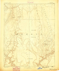
1886 · Mt. Trumbull
USGS Topo · 1:250,000
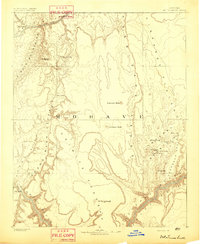
1892 · Mt. Trumbull
USGS Topo · 1:250,000

1953 · Grand Canyon
USGS Topo · 1:250,000
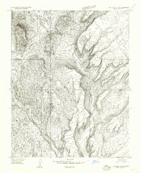
1954 · Littlefield 3 SW
USGS Topo · 1:24,000
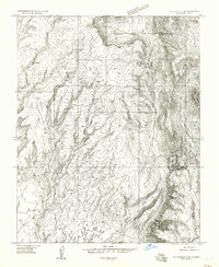
1954 · Littlefield 3 SE
USGS Topo · 1:24,000
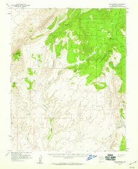
1954 · Cane Springs
USGS Topo · 1:62,500

1957 · Grand Canyon
USGS Topo · 1:250,000

1958 · Grand Canyon
USGS Topo · 1:250,000
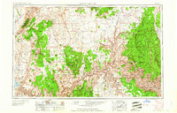
1960 · Grand Canyon
USGS Topo · 1:250,000
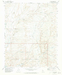
1971 · Gyp Hills
USGS Topo · 1:24,000