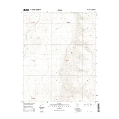
2014 Map of Olaf Knolls
USGS Topo · Published 2014About this map
Grand Wash Cliffs dominate the eastern landscape of this Mohave County region, creating a dramatic topographical shift from the lower basins to the elevated plateaus. The drainage of Grand Wash cuts through the northwest corner, a seasonal watercourse that has shaped the surrounding landforms. To the west, the namesake Olaf Knolls stand as distinct markers against the desert floor. The southern portion of the map is characterized by the Grand Gulch Bench, a transitional terrace that reflects the complex geological history of this part of the Arizona Strip. This 2014 survey records a largely undeveloped expanse, highlighting the natural landforms that have governed movement and land use in this arid territory for generations.
Find a feature on this map
10 named features on this map. Tap any name to fly to it.
Don’t see what you’re looking for? This feature index may not catch every label — zoom into the map to look around manually.
Map Details
Editions of this 2014 Olaf Knolls Map
This is the sole edition of this map. No revisions or reprints were ever made.
Other maps of this area
1886 · Mt. Trumbull
USGS Topo · 1:250,000
1892 · Mt. Trumbull
USGS Topo · 1:250,000

1953 · Grand Canyon
USGS Topo · 1:250,000
1954 · Littlefield 3 SW
USGS Topo · 1:24,000
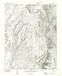
1954 · Littlefield 3 SE
USGS Topo · 1:24,000
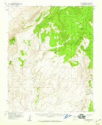
1954 · Cane Springs
USGS Topo · 1:62,500

1957 · Grand Canyon
USGS Topo · 1:250,000

1958 · Grand Canyon
USGS Topo · 1:250,000
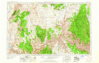
1960 · Grand Canyon
USGS Topo · 1:250,000
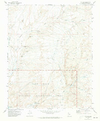
1971 · Gyp Hills
USGS Topo · 1:24,000