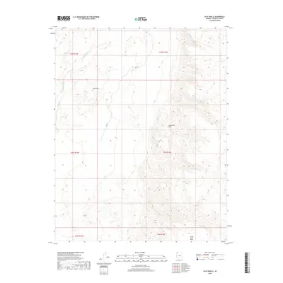
2018 Map of Olaf Knolls
USGS Topo · Published 2018About this map
Olaf Knolls and the surrounding high desert of Mohave County are defined by sharp topographic relief where the Colorado Plateau meets the Basin and Range province. This landscape is dominated by the massive Grand Wash Cliffs, which run vertically through the center of the sheet, creating a dramatic vertical rise between the lower western flats and the elevated Grand Gulch Bench to the southeast. Drainage is dictated by the Grand Wash, which winds through the northwestern corner. Apart from the isolated track of Rd 1061, the area remains largely undeveloped, showcasing the raw geological structure of the Arizona Strip. The map's contour lines illustrate the complex erosion patterns along the cliff face and the isolated prominence of the knolls, providing a clear record of the region's wilderness character in the early 21st century.
Find a feature on this map
11 named features on this map. Tap any name to fly to it.
Don’t see what you’re looking for? This feature index may not catch every label — zoom into the map to look around manually.
Map Details
Editions of this 2018 Olaf Knolls Map
This is the sole edition of this map. No revisions or reprints were ever made.
Other maps of this area
1886 · Mt. Trumbull
USGS Topo · 1:250,000
1892 · Mt. Trumbull
USGS Topo · 1:250,000

1953 · Grand Canyon
USGS Topo · 1:250,000
1954 · Littlefield 3 SW
USGS Topo · 1:24,000
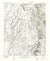
1954 · Littlefield 3 SE
USGS Topo · 1:24,000
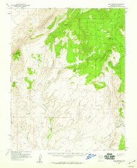
1954 · Cane Springs
USGS Topo · 1:62,500

1957 · Grand Canyon
USGS Topo · 1:250,000

1958 · Grand Canyon
USGS Topo · 1:250,000
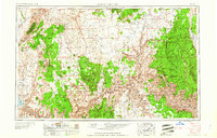
1960 · Grand Canyon
USGS Topo · 1:250,000
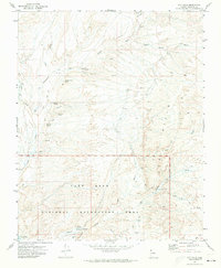
1971 · Gyp Hills
USGS Topo · 1:24,000