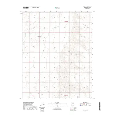
2021 Map of Olaf Knolls
USGS Topo · Published 2021About this map
Olaf Knolls rises above a landscape defined by significant elevation changes in this western reach of Mohave County. The topography is dominated by the Grand Wash Cliffs, which separate the higher eastern plateau from the lower drainage of the Grand Wash. This geographic division creates a dramatic vertical environment, evidenced by the numerous bench and canyon formations. To the south, Tank Canyon cuts through the terrain, while the Grand Gulch Bench provides a rare level landing amidst the steep slopes. While few permanent structures are noted, the presence of RD 1061 and various numbered routes like 1527b Trl suggest a network of access used for range management or recreation. The map meticulously records the Public Land Survey System boundaries, including the meeting of t35n r15w and t35n r14w, reflecting the enduring grid system used to manage these Arizona lands.
Find a feature on this map
15 named features on this map. Tap any name to fly to it.
Don’t see what you’re looking for? This feature index may not catch every label — zoom into the map to look around manually.
Map Details
Editions of this 2021 Olaf Knolls Map
This is the sole edition of this map. No revisions or reprints were ever made.
Other maps of this area
1886 · Mt. Trumbull
USGS Topo · 1:250,000
1892 · Mt. Trumbull
USGS Topo · 1:250,000

1953 · Grand Canyon
USGS Topo · 1:250,000
1954 · Littlefield 3 SW
USGS Topo · 1:24,000
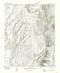
1954 · Littlefield 3 SE
USGS Topo · 1:24,000
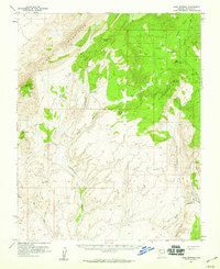
1954 · Cane Springs
USGS Topo · 1:62,500

1957 · Grand Canyon
USGS Topo · 1:250,000

1958 · Grand Canyon
USGS Topo · 1:250,000
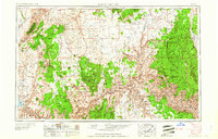
1960 · Grand Canyon
USGS Topo · 1:250,000
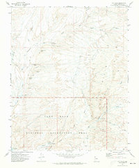
1971 · Gyp Hills
USGS Topo · 1:24,000