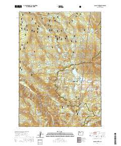
2020 Map of Olallie Butte
USGS Topo · Published 2020About this map
The Clackamas River headwaters and a dense cluster of alpine lakes define this high-altitude landscape on the boundary of the Mount Hood National Forest and Willamette National Forest. Dominated by the prominent Olallie Butte, the terrain is characterized by volcanic features including Potato Butte, Pyramid Butte, and Double Peaks. A significant stretch of the Pacific Crest National Scenic Trail traverses the center of the map, passing through Olallie Meadow and skirting numerous small water bodies such as Gifford Lakes, Nekbobets Lake, and the expansive Olallie Lake. The land division is marked by the meeting of Marion, Wasco, and Jefferson counties, illustrating how these natural ridges and summits historically dictated political boundaries in the Cascades.
Find a feature on this map
92 named features on this map. Tap any name to fly to it.
Don’t see what you’re looking for? This feature index may not catch every label — zoom into the map to look around manually.
Map Details
Editions of this 2020 Olallie Butte Map
This is the sole edition of this map. No revisions or reprints were ever made.
Other maps of this area

1927 · Mt. Jefferson
USGS Topo · 1:125,000

1930 · Mt. Jefferson
USGS Topo · 1:125,000

1955 · Bend
USGS Topo · 1:250,000

1957 · Bend
USGS Topo · 1:250,000

1958 · Bend
USGS Topo · 1:250,000

1961 · Whitewater River
USGS Topo · 1:62,500

1961 · Fort Butte
USGS Topo · 1:62,500
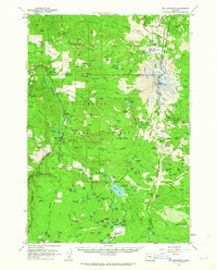
1961 · Mt. Jefferson
USGS Topo · 1:62,500
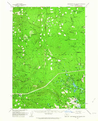
1961 · Breitenbush Hot Springs
USGS Topo · 1:62,500
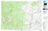
1983 · Madras
USGS Topo · 1:100,000