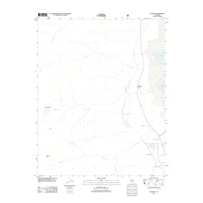
2012 Map of Olancha
USGS Topo · Published 2012About this map
Owens Lake and the engineered corridor of the Los Angeles Aqueduct define the eastern margin of this Owens Valley landscape. The settlement of Cartago serves as a focal point near the lake's western edge, while the transit-oriented infrastructure of Olancha Siding is visible further south. To the west, the terrain rises sharply toward the heights of Olancha Peak, where drainage systems including Olancha Cr and Cartago Cr flow eastward. High-altitude features such as Gomez Meadow and Higgins Lake suggest the varied ecological zones present in this transition from valley floor to mountain peak. Local life is anchored by markers such as the Po (post office) and a cluster of neighborhood streets including School Rd, revealing the small-scale development pattern that persisted in this region during the early 21st century.
Find a feature on this map
21 named features on this map. Tap any name to fly to it.
Don’t see what you’re looking for? This feature index may not catch every label — zoom into the map to look around manually.
Map Details
Editions of this 2012 Olancha Map
This is the sole edition of this map. No revisions or reprints were ever made.
Other maps of this area
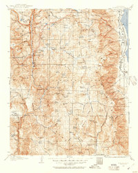
1905 · Olancha
USGS Topo · 1:125,000
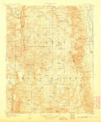
1907 · Olancha
USGS Topo · 1:125,000
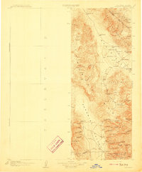
1908 · Ballarat
USGS Topo · 1:250,000
1913 · Ballarat
USGS Topo · 1:250,000
1948 · Death Valley
USGS Topo · 1:250,000

1948 · Fresno
USGS Topo · 1:250,000
1951 · Keeler
USGS Topo · 1:62,500
1951 · Haiwee Reservoir
USGS Topo · 1:62,500
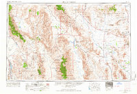
1954 · Death Valley
USGS Topo · 1:250,000
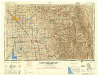
1955 · Fresno
USGS Topo · 1:250,000