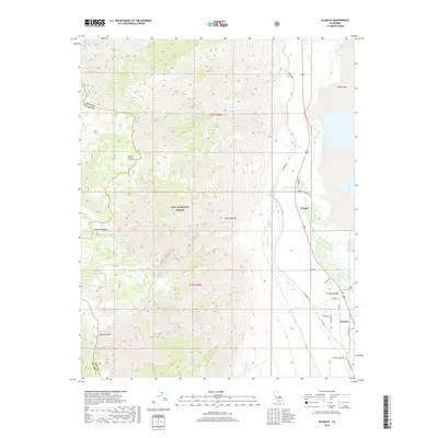
2018 Map of Olancha
USGS Topo · Published 2018About this map
Olancha and Cartago sit at the edge of the high desert where the eastern Sierra Nevada meets the southern shore of Owens Lake. The landscape is defined by the steep descent of the mountains into the valley, with drainage from Olancha Cr and Cartago Cr carving through the terrain. The presence of the L A Aqueduct and the Los Angeles Aqueduct highlights the region's critical role in California water history, following the contours of the basin. High-elevation landmarks such as Olancha Peak and Higgins Lake are set against the wilderness of the Inyo National Forest. Local infrastructure like School Rd and the Old State Hwy provides detail on the early 21st-century footprint of these small settlements, while the expansive bed of Owens Lake dominates the northeastern corner.
Find a feature on this map
33 named features on this map. Tap any name to fly to it.
Don’t see what you’re looking for? This feature index may not catch every label — zoom into the map to look around manually.
Map Details
Editions of this 2018 Olancha Map
This is the sole edition of this map. No revisions or reprints were ever made.
Other maps of this area
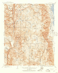
1905 · Olancha
USGS Topo · 1:125,000
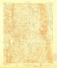
1907 · Olancha
USGS Topo · 1:125,000
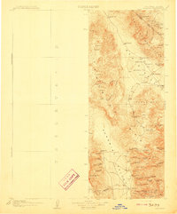
1908 · Ballarat
USGS Topo · 1:250,000
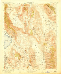
1913 · Ballarat
USGS Topo · 1:250,000
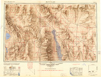
1948 · Death Valley
USGS Topo · 1:250,000

1948 · Fresno
USGS Topo · 1:250,000
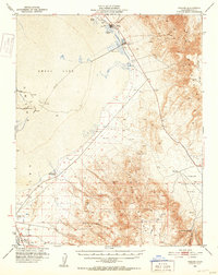
1951 · Keeler
USGS Topo · 1:62,500
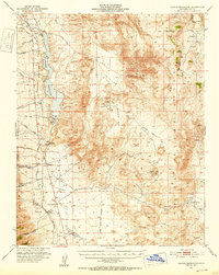
1951 · Haiwee Reservoir
USGS Topo · 1:62,500
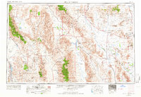
1954 · Death Valley
USGS Topo · 1:250,000
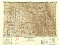
1955 · Fresno
USGS Topo · 1:250,000