2021 Map of Olancha
USGS Topo · Published 2021About this map
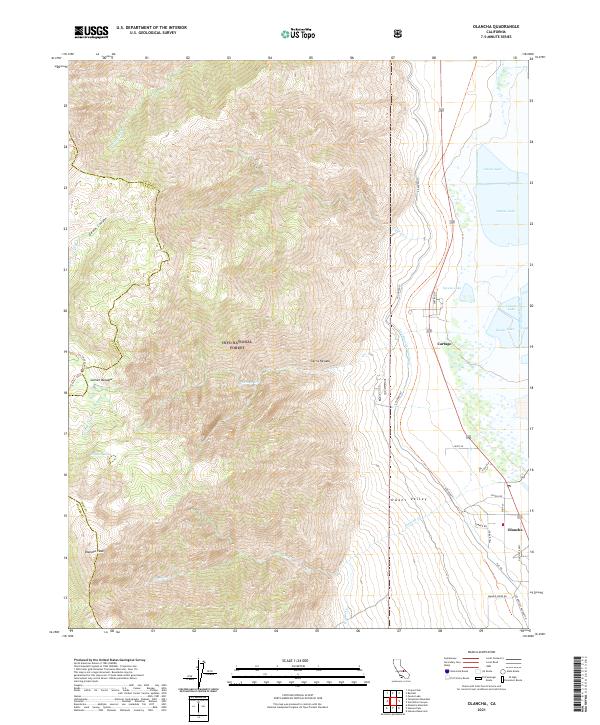
Olancha Peak and the high ridges of the Sierra Nevada dominate the western horizon of this survey, descending sharply into the Owens Valley. The arid floor of the valley is defined by the remnants of Owens Lake and the engineering of the L A Aqueduct, which skirts the eastern edge of the mountains. The settlements of Olancha and Cartago sit at the base of the range, serving as gateways to the steep trails and canyons of the Inyo National Forest. High-altitude features like Gomez Meadow and Higgins Lake are accessible via the Pacific Crest National Scenic Trl, which traverses the divide. The map illustrates the profound contrast between the seasonal water sources of Cartago Cr and Olancha Cr and the massive infrastructure diverting water south toward Los Angeles.
Find a feature on this map
36 named features on this map. Tap any name to fly to it.
Don’t see what you’re looking for? This feature index may not catch every label — zoom into the map to look around manually.
Map Details
Editions of this 2021 Olancha Map
This is the sole edition of this map. No revisions or reprints were ever made.
Other maps of this area

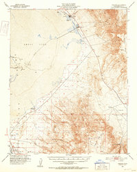
1905 · Olancha
USGS Topo · 1:125,000

1907 · Olancha
USGS Topo · 1:125,000

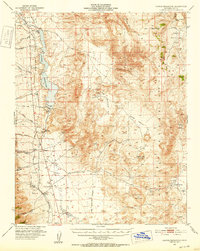
1908 · Ballarat
USGS Topo · 1:250,000

1913 · Ballarat
USGS Topo · 1:250,000

1948 · Death Valley
USGS Topo · 1:250,000

1948 · Fresno
USGS Topo · 1:250,000
1951 · Keeler
USGS Topo · 1:62,500
1951 · Haiwee Reservoir
USGS Topo · 1:62,500

1954 · Death Valley
USGS Topo · 1:250,000

1955 · Fresno
USGS Topo · 1:250,000