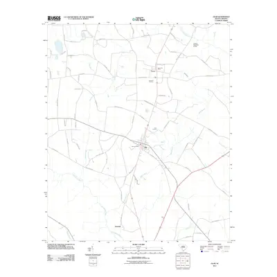
2011 Map of Olar
USGS Topo · Published 2011About this map
Olar and Govan anchor this landscape of the South Carolina Lowcountry, where the drainage of the Salkehatchie River and Little Salkehatchie River shapes the local topography. At this time in the early 21st century, the map reveals a rural network defined by agricultural land and small crossroads settlements. The Olar Post Office and Govan Post Office indicate these communities' continuing roles as local hubs, while historical sites like Nimmons Cemetery and Starr Cemetery provide important points of reference for genealogists and local historians. The landscape is deeply etched by numerous waterways including Georges Creek, Birds Branch, and Kirkland Creek, which feed into the larger river systems. In the southern reach of the quadrangle, the small settlement of Schofield sits near the winding banks of the Salkehatchie, illustrating the long-standing relationship between settlement patterns and the region's riparian corridors.
Find a feature on this map
70 named features on this map. Tap any name to fly to it.
Don’t see what you’re looking for? This feature index may not catch every label — zoom into the map to look around manually.
Map Details
Editions of this 2011 Olar Map
This is the sole edition of this map. No revisions or reprints were ever made.
Other maps of this area

1919 · Olar
USGS Topo · 1:62,500

1919 · Bamberg
USGS Topo · 1:48,000

1919 · Allendale
USGS Topo · 1:62,500

1920 · Bamberg
USGS Topo · 1:62,500

1923 · Williston
USGS Topo · 1:48,000

1927 · Williston
USGS Topo · 1:62,500

1943 · Olar
USGS Topo · 1:62,500

1943 · Allendale
USGS Topo · 1:62,500

1943 · Bamberg
USGS Topo · 1:62,500

1943 · Williston
USGS Topo · 1:62,500