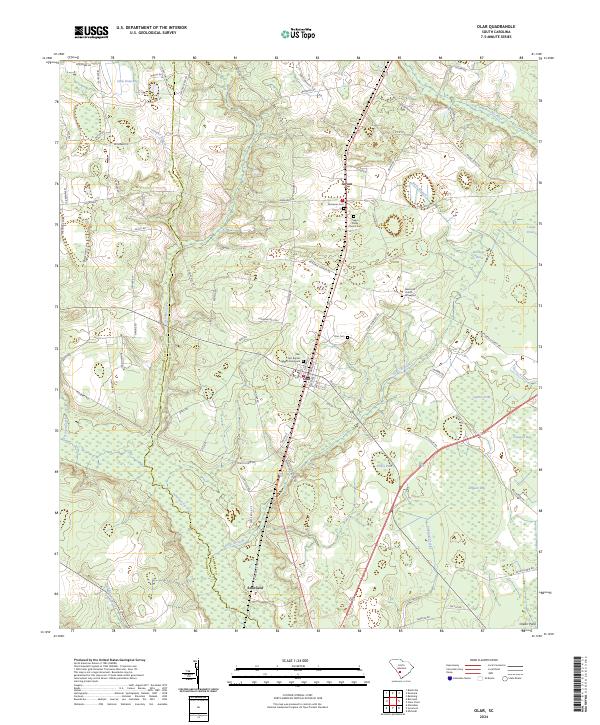
2024 Map of Olar
USGS Topo · Published 2024About this map
Olar serves as the central hub of this landscape, situated near the intersection of several regional routes and surrounded by numerous wetlands and watercourses. The town’s social and historical center is defined by the Olar First Baptist Church and the adjacent Olar First Baptist Church Graveyard. To the north, the small settlement of Govan sits near Nimmons Cem and Saint Phillip Church Cem, while Schofield marks the southern reaches near the Salkehatchie River.
Find a feature on this map
92 named features on this map. Tap any name to fly to it.
Don’t see what you’re looking for? This feature index may not catch every label — zoom into the map to look around manually.
Map Details
Editions of this 2024 Olar Map
This is the sole edition of this map. No revisions or reprints were ever made.
Other maps of this area

1919 · Olar
USGS Topo · 1:62,500

1919 · Bamberg
USGS Topo · 1:48,000

1919 · Allendale
USGS Topo · 1:62,500

1920 · Bamberg
USGS Topo · 1:62,500

1923 · Williston
USGS Topo · 1:48,000

1927 · Williston
USGS Topo · 1:62,500

1943 · Olar
USGS Topo · 1:62,500

1943 · Allendale
USGS Topo · 1:62,500

1943 · Bamberg
USGS Topo · 1:62,500

1943 · Williston
USGS Topo · 1:62,500