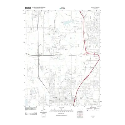
2009 Map of Olathe
USGS Topo · Published 2009About this map
Olathe serves as the focal point of this 2009 survey, illustrating the suburban expansion and residential development typical of eastern Kansas at the turn of the 21st century. The map preserves the locations of several historic burial grounds, such as the Maupin Family Cemetery and Smith Cemetery, which stand alongside modern infrastructure like the Johnson County Dam and Shawnee Mission Lake. These landmarks offer a unique look at how earlier pioneer settlements and family homesteads were integrated into the growing city fabric.
Find a feature on this map
87 named features on this map. Tap any name to fly to it.
Don’t see what you’re looking for? This feature index may not catch every label — zoom into the map to look around manually.
Map Details
Editions of this 2009 Olathe Map
This is the sole edition of this map. No revisions or reprints were ever made.
Other maps of this area

1887 · Olathe
USGS Topo · 1:125,000

1890 · Kansas City
USGS Topo · 1:125,000

1893 · Olathe
USGS Topo · 1:125,000

1894 · Kansas City
USGS Topo · 1:125,000

1934 · Bonner Springs
USGS Topo · 1:48,000

1934 · Shawnee
USGS Topo · 1:24,000

1934 · Edwardsville
USGS Topo · 1:24,000

1935 · Olathe
USGS Topo · 1:24,000

1935 · Lenexa
USGS Topo · 1:24,000

1940 · Bonner Springs
USGS Topo · 1:62,500