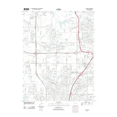
2012 Map of Olathe
USGS Topo · Published 2012About this map
Midamerica Nazarene University stands as a central landmark in this 2012 survey of Johnson County, reflecting the suburban expansion and institutional development of the era. The landscape is a mix of established residential corridors and modern technological hubs, including the Interstate 35 and 119th Street Technology Park and South Lake Technology Park. Local heritage is preserved through several family and community burial grounds such as Monticello Cem, Maupin Family Cem, and Smith Cem, which remain interspersed among newer developments.
Find a feature on this map
123 named features on this map. Tap any name to fly to it.
Don’t see what you’re looking for? This feature index may not catch every label — zoom into the map to look around manually.
Map Details
Editions of this 2012 Olathe Map
This is the sole edition of this map. No revisions or reprints were ever made.
Other maps of this area

1887 · Olathe
USGS Topo · 1:125,000

1890 · Kansas City
USGS Topo · 1:125,000

1893 · Olathe
USGS Topo · 1:125,000

1894 · Kansas City
USGS Topo · 1:125,000
1934 · Bonner Springs
USGS Topo · 1:48,000
1934 · Shawnee
USGS Topo · 1:24,000
1934 · Edwardsville
USGS Topo · 1:24,000
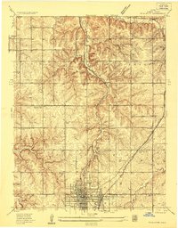
1935 · Olathe
USGS Topo · 1:24,000
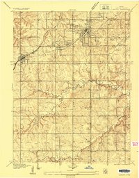
1935 · Lenexa
USGS Topo · 1:24,000
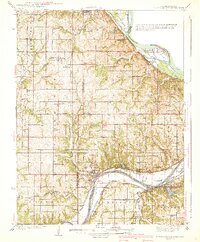
1940 · Bonner Springs
USGS Topo · 1:62,500