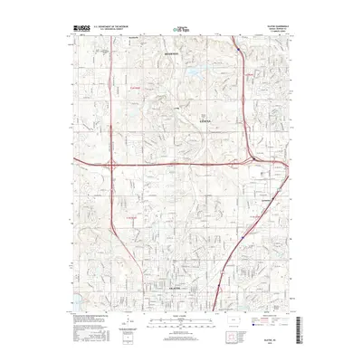
2015 Map of Olathe
USGS Topo · Published 2015About this map
Olathe and its surrounding suburban communities show a landscape defined by rapid expansion and modern transportation corridors during the mid-2010s. The dense residential and commercial networks of Shawnee and Lenexa are bisected by major thoroughfares like College Blvd and W 95th St. This era reflects a high concentration of institutional and memorial sites, from the sprawling campus of MidAmerica Nazarene Univ to historic burial grounds such as Olathe Memorial Cem and the Maupin Family Cem.
Find a feature on this map
40 named features on this map. Tap any name to fly to it.
Don’t see what you’re looking for? This feature index may not catch every label — zoom into the map to look around manually.
Map Details
Editions of this 2015 Olathe Map
This is the sole edition of this map. No revisions or reprints were ever made.
Other maps of this area

1887 · Olathe
USGS Topo · 1:125,000

1890 · Kansas City
USGS Topo · 1:125,000

1893 · Olathe
USGS Topo · 1:125,000

1894 · Kansas City
USGS Topo · 1:125,000

1934 · Bonner Springs
USGS Topo · 1:48,000

1934 · Shawnee
USGS Topo · 1:24,000

1934 · Edwardsville
USGS Topo · 1:24,000

1935 · Olathe
USGS Topo · 1:24,000

1935 · Lenexa
USGS Topo · 1:24,000

1940 · Bonner Springs
USGS Topo · 1:62,500