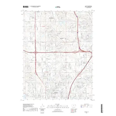
2018 Map of Olathe
USGS Topo · Published 2018About this map
The growing city of Olathe and its northern neighbors define this portion of Johnson County, where the transition from suburban expansion to persistent rural pockets is visible in the landscape. Significant water bodies such as Shawnee Mission Lake and New Olathe Lake anchor the region's geography, while the drainage networks of Little Mill Creek and Indian Creek carve through the developing terrain.
Find a feature on this map
187 named features on this map. Tap any name to fly to it.
Don’t see what you’re looking for? This feature index may not catch every label — zoom into the map to look around manually.
Map Details
Editions of this 2018 Olathe Map
This is the sole edition of this map. No revisions or reprints were ever made.
Other maps of this area

1887 · Olathe
USGS Topo · 1:125,000

1890 · Kansas City
USGS Topo · 1:125,000

1893 · Olathe
USGS Topo · 1:125,000

1894 · Kansas City
USGS Topo · 1:125,000

1934 · Bonner Springs
USGS Topo · 1:48,000

1934 · Shawnee
USGS Topo · 1:24,000

1934 · Edwardsville
USGS Topo · 1:24,000

1935 · Olathe
USGS Topo · 1:24,000

1935 · Lenexa
USGS Topo · 1:24,000

1940 · Bonner Springs
USGS Topo · 1:62,500