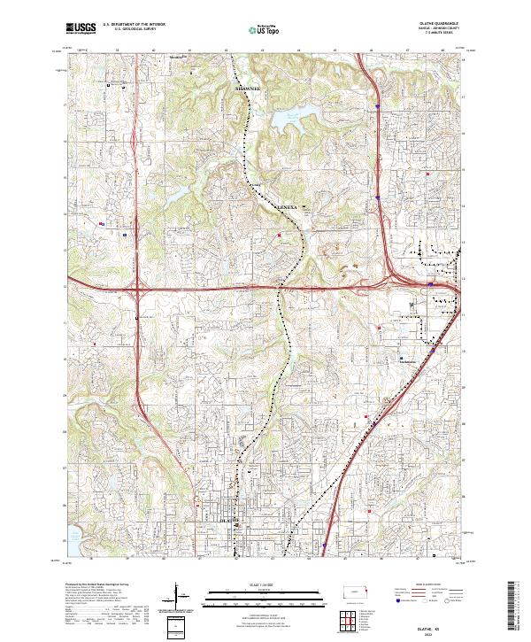
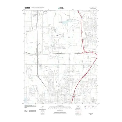
2022 Map of Olathe
USGS Topo · Published 2022About this map
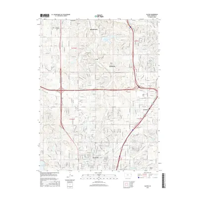
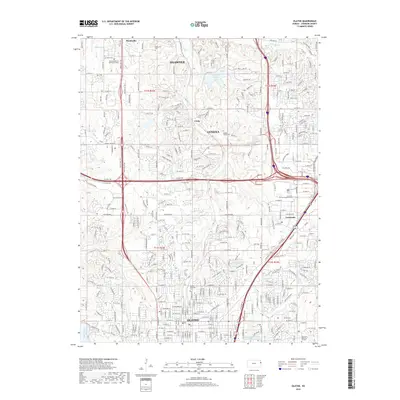
Olathe and its northern neighbors serve as a primary focus in this 2022 survey, illustrating the dense suburban layout and interconnected street systems of Johnson County. The Johnson County Courthouse stands as a central civic landmark in downtown Olathe, while historical continuity is maintained through numerous burial grounds such as Olathe Memorial Cem and the Asa Smith Cem. The landscape is a network of residential developments and major thoroughfares like College Blvd and Prairie Star Pkwy, which intersect the path of the storied Santa Fe Trail Dr.
Find a feature on this map
39 named features on this map. Tap any name to fly to it.
Don’t see what you’re looking for? This feature index may not catch every label — zoom into the map to look around manually.
Map Details
Editions of this 2022 Olathe Map
This is the sole edition of this map. No revisions or reprints were ever made.
Historical Maps of Olathe Through Time
12 maps found

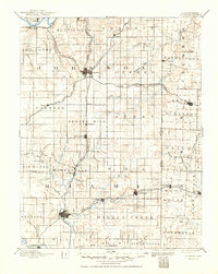
1887 Olathe
Johnson County, KS
1893 Olathe
Johnson County, KS
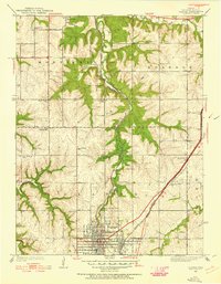
1935 Olathe
Johnson County, KS
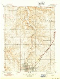
1943 Olathe
Johnson County, KS
1956 Olathe
Johnson County, KS

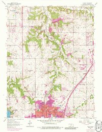
1983 Olathe
Johnson County, KS
1991 Olathe
Johnson County, KS
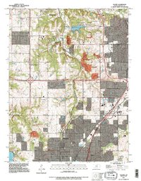
2009 Olathe
Johnson County, KS
2012 Olathe
Johnson County, KS
2015 Olathe
Johnson County, KS
2018 Olathe
Johnson County, KS
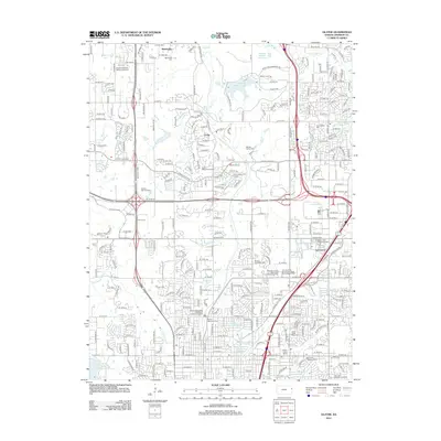
2022 Olathe
Johnson County, KS