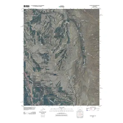
2010 Map of Olathe NW
USGS Topo · Published 2010About this map
The Uncompahgre River corridor defines this agricultural landscape northwest of Olathe, where a sophisticated network of irrigation laterals and canals supports high-desert cultivation. Features like the Selig Canal, East Canal, and multiple laterals including the E O Lateral and G K Lateral reveal the intensive water management required in this part of Montrose County. The terrain is marked by the deep Loutsenhizer Arroyo and the broad Peach Valley, which contains three distinct water control structures: Lower Peach Valley Dam, Middle Peach Valley Dam, and Peach Valley Dam Number 1. Human activity in the area is represented by the Iron Cap Mine and the Star Nelson Airport, while a grid of rural routes such as Last Chance Rd and Banner Rd provides access to the dispersed farmsteads and ranching lands.
Find a feature on this map
28 named features on this map. Tap any name to fly to it.
Don’t see what you’re looking for? This feature index may not catch every label — zoom into the map to look around manually.
Map Details
Editions of this 2010 Olathe NW Map
This is the sole edition of this map. No revisions or reprints were ever made.
Other maps of this area

1955 · Olathe NW
USGS Topo · 1:24,000

1955 · Black Ridge
USGS Topo · 1:24,000

1955 · Olathe
USGS Topo · 1:24,000

1955 · Red Rock Canyon
USGS Topo · 1:24,000

1955 · Lazear
USGS Topo · 1:24,000

1956 · Montrose
USGS Topo · 1:250,000

1956 · Moab
USGS Topo · 1:250,000

1959 · Moab
USGS Topo · 1:250,000

1959 · Montrose
USGS Topo · 1:250,000

1960 · Montrose
USGS Topo · 1:250,000