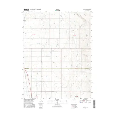
2016 Map of Olathe NW
USGS Topo · Published 2016About this map
The Uncompahgre River flows through the southwestern corner of this landscape, defining a fertile valley floor alongside E Mesa. In the early 21st century, this area of the Colorado Plateau exhibits a complex network of agricultural water management, evidenced by the Selig Canal, G K B Lateral, and the B Canal. These waterways underscore the region's reliance on irrigation to support its ranching and farming operations. To the northeast, the terrain rises into the geological formations of Peach Valley, where the Sidewinder Trail and Smith Mountain Rd navigate the more elevated and dissected land. A small aviation hub, the Sky Island Ranch Airport, sits on the western edge of the quadrangle, while the county line between Delta Co and Montrose Co bisects the center of the survey. The map records a rural infrastructure of gravel roads and family-named routes that connect the scattered ranches of this high-desert environment.
Find a feature on this map
56 named features on this map. Tap any name to fly to it.
Don’t see what you’re looking for? This feature index may not catch every label — zoom into the map to look around manually.
Map Details
Editions of this 2016 Olathe NW Map
This is the sole edition of this map. No revisions or reprints were ever made.
Other maps of this area
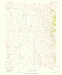
1955 · Olathe NW
USGS Topo · 1:24,000
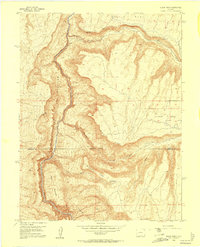
1955 · Black Ridge
USGS Topo · 1:24,000
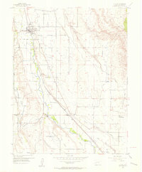
1955 · Olathe
USGS Topo · 1:24,000
1955 · Red Rock Canyon
USGS Topo · 1:24,000
1955 · Lazear
USGS Topo · 1:24,000

1956 · Montrose
USGS Topo · 1:250,000
1956 · Moab
USGS Topo · 1:250,000
1959 · Moab
USGS Topo · 1:250,000
1959 · Montrose
USGS Topo · 1:250,000
1960 · Montrose
USGS Topo · 1:250,000