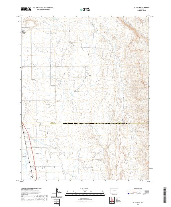
2022 Map of Olathe NW
USGS Topo · Published 2022About this map
The town of Olathe sits at the southwestern corner of this Colorado landscape, where the Uncompahgre River flows through a valley defined by an intricate network of irrigation infrastructure. The territory is marked by the transition from the river bottom to East Mesa and the rolling terrain of Peach Valley. A complex system of water management is evident in the numerous labeled waterways like the Selig Canal, G K Lateral, and G H B Lateral, which have historically supported agriculture in this arid region of the Western Slope. To the north, the Sky Island Ranch Airport serves as a small aviation landmark among a grid of rural roads and residential lanes. The landscape is also etched by natural drainages such as Loutsenhizer Arroyo, while more modern recreational or access paths like the Sidewinder Trl and Elephant Ditch Trl cross the higher ground to the east.
Find a feature on this map
61 named features on this map. Tap any name to fly to it.
Don’t see what you’re looking for? This feature index may not catch every label — zoom into the map to look around manually.
Map Details
Editions of this 2022 Olathe NW Map
This is the sole edition of this map. No revisions or reprints were ever made.
Other maps of this area

1955 · Olathe NW
USGS Topo · 1:24,000

1955 · Black Ridge
USGS Topo · 1:24,000

1955 · Olathe
USGS Topo · 1:24,000

1955 · Red Rock Canyon
USGS Topo · 1:24,000

1955 · Lazear
USGS Topo · 1:24,000

1956 · Montrose
USGS Topo · 1:250,000

1956 · Moab
USGS Topo · 1:250,000

1959 · Moab
USGS Topo · 1:250,000

1959 · Montrose
USGS Topo · 1:250,000

1960 · Montrose
USGS Topo · 1:250,000