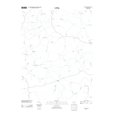
2013 Map of Olaton
USGS Topo · Published 2013About this map
Rough River snakes through the center of this terrain, defining the local geography as it flows past the small communities of Olaton and Narrows. The settlement pattern follows the river's winding course and its many tributaries, such as Caney Cr and Huff Cr. Cultural and family history is anchored by sites like Haynes Cem, Axton Cem, and Grant Cem, which dot the uplands away from the floodplains.
Find a feature on this map
70 named features on this map. Tap any name to fly to it.
Don’t see what you’re looking for? This feature index may not catch every label — zoom into the map to look around manually.
Map Details
Editions of this 2013 Olaton Map
This is the sole edition of this map. No revisions or reprints were ever made.
Other maps of this area
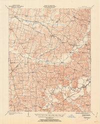
1907 · Whitesville
USGS Topo · 1:62,500
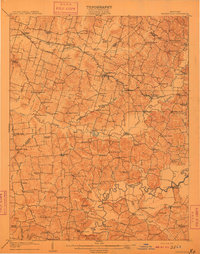
1909 · Whitesville
USGS Topo · 1:62,500
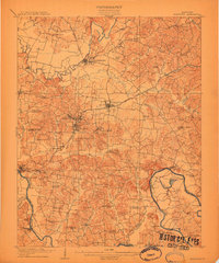
1909 · Hartford
USGS Topo · 1:62,500
1925 · Spring Lick
USGS Topo · 1:62,500
1932 · Fordsville
USGS Topo · 1:62,500
1953 · Dundee
USGS Topo · 1:24,000
1953 · Whitesville
USGS Topo · 1:24,000
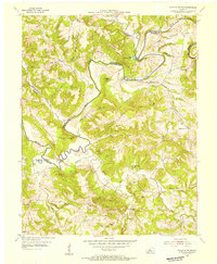
1953 · Falls Of Rough
USGS Topo · 1:24,000
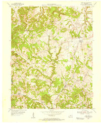
1953 · Glen Dean
USGS Topo · 1:24,000
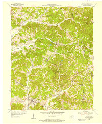
1953 · Fordsville
USGS Topo · 1:24,000