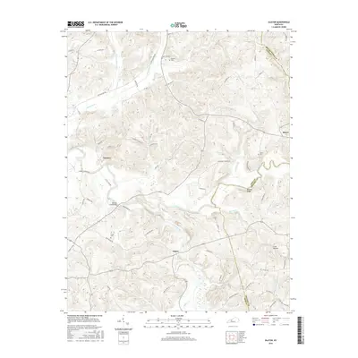
2016 Map of Olaton
USGS Topo · Published 2016About this map
Olaton and the surrounding Ohio County countryside are defined by the winding course of the Rough River and its many tributaries, including Caney Creek and Adams Fork. This 2016 survey documents a landscape where traditional industry and family history remain visible. The Ft Hartford Mine sits south of the river, while the community of Narrows is situated near several key crossings. Genealogists will find numerous family-linked landmarks, such as Haynes Cem, Grant Cem, and Axton Cem. The map reveals a complex network of rural infrastructure, from the Barretts Ford Bridge to the remnants of a Railroad Bed Rd in the north. The terrain varies from the elevations of Browns Ridge to the secluded Cove Hollow, showing how the local road system, including Yeaman Rd and Dundee Narrows Rd, adapts to the area's many valleys and runs.
Find a feature on this map
69 named features on this map. Tap any name to fly to it.
Don’t see what you’re looking for? This feature index may not catch every label — zoom into the map to look around manually.
Map Details
Editions of this 2016 Olaton Map
This is the sole edition of this map. No revisions or reprints were ever made.
Other maps of this area
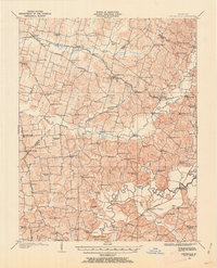
1907 · Whitesville
USGS Topo · 1:62,500
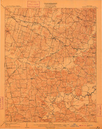
1909 · Whitesville
USGS Topo · 1:62,500
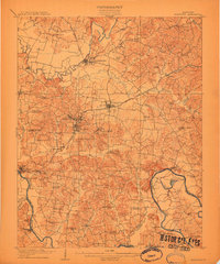
1909 · Hartford
USGS Topo · 1:62,500
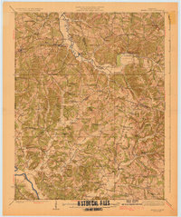
1925 · Spring Lick
USGS Topo · 1:62,500
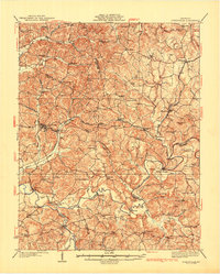
1932 · Fordsville
USGS Topo · 1:62,500
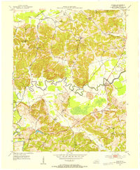
1953 · Dundee
USGS Topo · 1:24,000
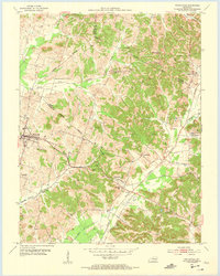
1953 · Whitesville
USGS Topo · 1:24,000
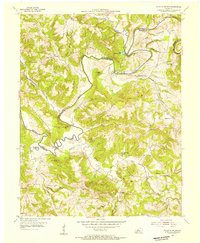
1953 · Falls Of Rough
USGS Topo · 1:24,000
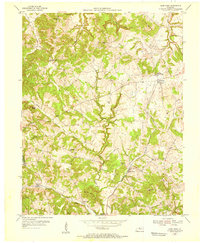
1953 · Glen Dean
USGS Topo · 1:24,000
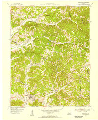
1953 · Fordsville
USGS Topo · 1:24,000