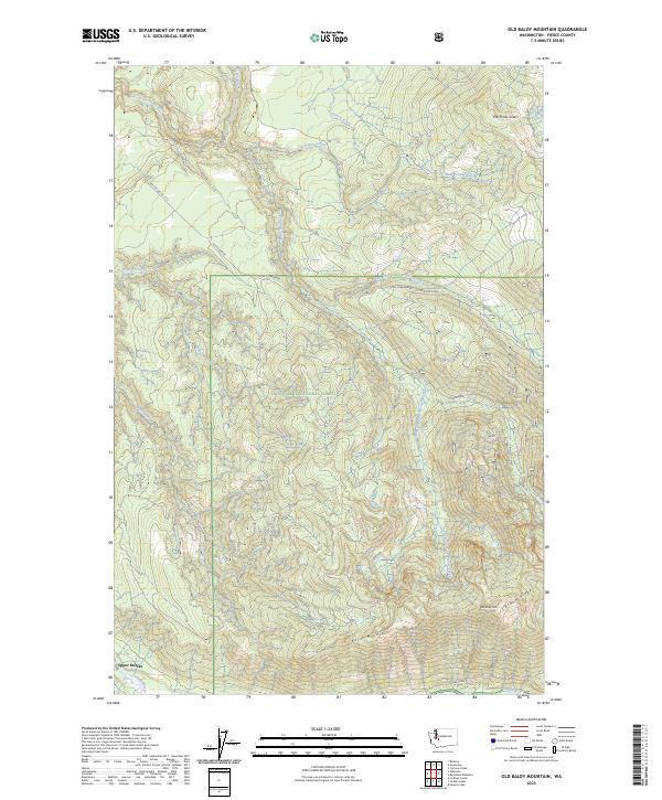
2023 Map of Old Baldy Mountain
USGS Topo · Published 2023About this map
Upper Fairfax sits at the southwestern edge of this landscape, positioned along the Carbon River where it meets the northern foothills of the Cascade Range. The area is dominated by the steep, drainage-carved slopes of the Snoqualmie National Forest and the protected Clearwater Wilderness. Higher elevations are marked by prominent peaks such as Old Baldy Mtn, Burnt Mountain, and Pitcher Mountain. A complex network of waterways, including the various forks of South Prairie Creek and Wilkeson Creek, defines the local topography. This modern 2023 survey illustrates the current management of these public lands, showing access routes like Nat For Dev Rd 7710 and the Upper Clearwater corridor which serve the timber and recreational interests of Pierce County.
Find a feature on this map
24 named features on this map. Tap any name to fly to it.
Don’t see what you’re looking for? This feature index may not catch every label — zoom into the map to look around manually.
Map Details
Editions of this 2023 Old Baldy Mountain Map
This is the sole edition of this map. No revisions or reprints were ever made.
Other maps of this area

1897 · Tacoma
USGS Topo · 1:125,000

1900 · Tacoma
USGS Topo · 1:125,000

1913 · Cedar Lake
USGS Topo · 1:125,000

1924 · Mt Rainier
USGS Topo · 1:96,000

1928 · Mt Rainier
USGS Topo · 1:125,000

1937 · Eatonville
USGS Topo · 1:125,000

1942 · Lake Tapps
USGS Topo · 1:62,500

1944 · Lake Tapps
USGS Topo · 1:62,500

1950 · Yakima
USGS Topo · 1:250,000

1953 · Hoquiam
USGS Topo · 1:250,000