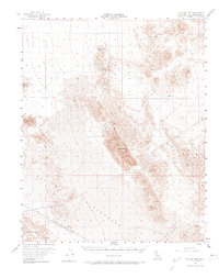
1956 Map of Old Dad Mountain
USGS Topo · Published 1974About this map
Mining operations and the Union Pacific railroad define this mid-century desert landscape within San Bernardino County. Small-scale resource extraction is evident at the Paymaster Mine, Brannigan Mine, and Rainy Day Mine, which sit tucked among the volcanic formations of the Lava fields and the prominent ridges of Old Dad Mtn. The railroad corridor provides a vital link across the arid basin, serving the small settlement at Sands.
Find a feature on this map
21 named features on this map. Tap any name to fly to it.
Don’t see what you’re looking for? This feature index may not catch every label — zoom into the map to look around manually.
Map Details
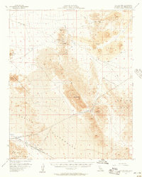
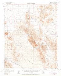
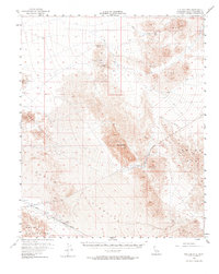
Editions of this 1956 Old Dad Mountain Map
4 editions found
Other maps of this area

1910 · Ivanpah
USGS Topo · 1:250,000

1912 · Ivanpah
USGS Topo · 1:250,000

1933 · Avawatz Mountains
USGS Topo · 1:250,000

1942 · Ivanpah
USGS Topo · 1:250,000

1942 · Amboy
USGS Topo · 1:250,000

1943 · Amboy
USGS Topo · 1:250,000

1947 · Trona
USGS Topo · 1:250,000

1947 · Kingman
USGS Topo · 1:250,000

1948 · Kingman
USGS Topo · 1:250,000

1948 · Trona
USGS Topo · 1:250,000