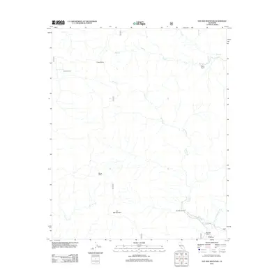
2012 Map of Old Man Mountain
USGS Topo · Published 2012About this map
Old Man Mountain stands as a prominent topographical anchor in this high-elevation reach of Ventura County, where the headwaters of several critical drainages begin their descent. The landscape is defined by the complex branching of Matilija Cr and the northern reaches of N Fork Juncal Cr, illustrating the watershed patterns that feed the surrounding valleys. Human activity is sparse and concentrated along established corridors, such as the Matilija Canyon Rd in the southeast corner. Small outposts like Upper Hartman Ranch and the Murietta Campground represent the limited seasonal and agricultural footprint in this interior region. Notable landmarks including Monte Arido and the Three Sisters provide essential navigational reference points for this high-relief terrain, which remains largely characterized by natural features like Old Man Canyon and La Carpa Spring.
Find a feature on this map
19 named features on this map. Tap any name to fly to it.
Don’t see what you’re looking for? This feature index may not catch every label — zoom into the map to look around manually.
Map Details
Editions of this 2012 Old Man Mountain Map
This is the sole edition of this map. No revisions or reprints were ever made.
Other maps of this area
1902 · Santa Ynez
USGS Topo · 1:125,000
1903 · Mt. Pinos
USGS Topo · 1:125,000
1904 · Ventura
USGS Topo · 1:62,500
1905 · Santa Ynez
USGS Topo · 1:125,000
1941 · Ventura
USGS Topo · 1:62,500
1942 · Wheeler Springs
USGS Topo · 1:24,000
1943 · Rancho Nuevo Creek
USGS Topo · 1:24,000
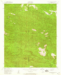
1943 · Old Man Mountain
USGS Topo · 1:24,000
1943 · Reyes Peak
USGS Topo · 1:24,000
1943 · Wheeler Springs
USGS Topo · 1:24,000