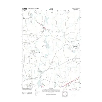
2012 Map of Old Mystic
USGS Topo · Published 2012About this map
Clydes Cider Mill and Stonington Vineyards anchor the agrarian and cultural landscape of this region during the early twenty-first century. The map highlights the transition from the rolling elevations of Prentice Mountain and Lantern Hill down to the tidal reaches of the Mystic River at Whitehall Landing. The area is marked by a significant concentration of family burial grounds, including the Avery Cem, Stewart Hill Cem, and Brown Randall Cem, which offer valuable points of interest for genealogical research in New London County.
Find a feature on this map
161 named features on this map. Tap any name to fly to it.
Don’t see what you’re looking for? This feature index may not catch every label — zoom into the map to look around manually.
Map Details
Editions of this 2012 Old Mystic Map
This is the sole edition of this map. No revisions or reprints were ever made.
Other maps of this area

1889 · Stonington
USGS Topo · 1:62,500

1889 · Moosup
USGS Topo · 1:62,500

1892 · New London
USGS Topo · 1:62,500

1892 · Norwich
USGS Topo · 1:62,500

1893 · Moosup
USGS Topo · 1:62,500

1893 · Stonington
USGS Topo · 1:62,500

1893 · New London
USGS Topo · 1:62,500

1920 · Moosup
USGS Topo · 1:62,500

1921 · New London
USGS Topo · 1:62,500

1921 · Stonington
USGS Topo · 1:62,500