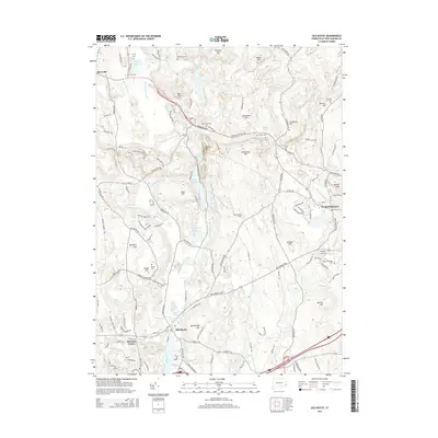
2015 Map of Old Mystic
USGS Topo · Published 2015About this map
Old Mystic serves as the focal point of this coastal Connecticut survey, situated where the Mystic River meets tidal waters near Hyde Pond. The landscape is defined by a dense network of hills and small valleys, including Lantern Hill and Prentice Mtn, which separate the various brook systems feeding into the Shunock River. The arrangement of residential developments around Burnetts Corner and along the New London Tpke shows the modern expansion of these historic seafaring and agricultural communities.
Find a feature on this map
152 named features on this map. Tap any name to fly to it.
Don’t see what you’re looking for? This feature index may not catch every label — zoom into the map to look around manually.
Map Details
Editions of this 2015 Old Mystic Map
This is the sole edition of this map. No revisions or reprints were ever made.
Other maps of this area

1889 · Stonington
USGS Topo · 1:62,500

1889 · Moosup
USGS Topo · 1:62,500

1892 · New London
USGS Topo · 1:62,500

1892 · Norwich
USGS Topo · 1:62,500

1893 · Moosup
USGS Topo · 1:62,500

1893 · Stonington
USGS Topo · 1:62,500

1893 · New London
USGS Topo · 1:62,500

1920 · Moosup
USGS Topo · 1:62,500

1921 · New London
USGS Topo · 1:62,500

1921 · Stonington
USGS Topo · 1:62,500