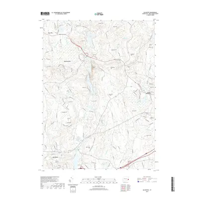
2018 Map of Old Mystic
USGS Topo · Published 2018About this map
Mashantucket and the surrounding wooded hills of New London County define this 2018 topographic landscape. The area is marked by a significant concentration of family burial grounds and historical cemeteries, including Avery Cem, Woodward Cem, and Browning Cem, providing a detailed record for genealogical research. The terrain is characterized by numerous glacial features and summits like Prentice Mtn, Swantown Hill, and Lantern Hill, which overlook a network of lakes and ponds such as Long Pond and Lake of Isles.
Find a feature on this map
64 named features on this map. Tap any name to fly to it.
Don’t see what you’re looking for? This feature index may not catch every label — zoom into the map to look around manually.
Map Details
Editions of this 2018 Old Mystic Map
This is the sole edition of this map. No revisions or reprints were ever made.
Other maps of this area

1889 · Stonington
USGS Topo · 1:62,500

1889 · Moosup
USGS Topo · 1:62,500

1892 · New London
USGS Topo · 1:62,500

1892 · Norwich
USGS Topo · 1:62,500

1893 · Moosup
USGS Topo · 1:62,500

1893 · Stonington
USGS Topo · 1:62,500

1893 · New London
USGS Topo · 1:62,500

1920 · Moosup
USGS Topo · 1:62,500

1921 · New London
USGS Topo · 1:62,500

1921 · Stonington
USGS Topo · 1:62,500