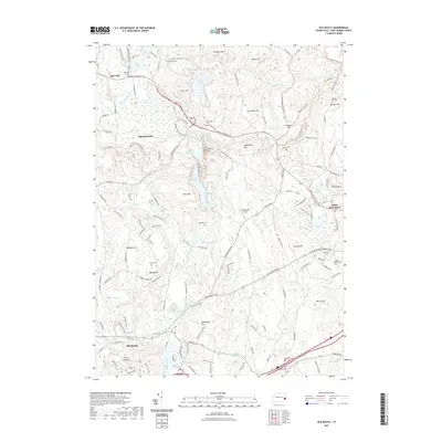
2021 Map of Old Mystic
USGS Topo · Published 2021About this map
Old Mystic and North Stonington anchor a landscape defined by glacial topography and colonial-era lineages in southeastern Connecticut. The terrain is marked by numerous family-named hills and cemeteries, such as Avery Cem, Gallup Cem, and Stewart Hill Cem, which offer significant data points for genealogists tracing local families. The hydrography of the region is complex, featuring the Mystic River and extensive wetland systems like Assekonk Swamp and Cedar Swamp.
Find a feature on this map
65 named features on this map. Tap any name to fly to it.
Don’t see what you’re looking for? This feature index may not catch every label — zoom into the map to look around manually.
Map Details
Editions of this 2021 Old Mystic Map
This is the sole edition of this map. No revisions or reprints were ever made.
Other maps of this area

1889 · Stonington
USGS Topo · 1:62,500

1889 · Moosup
USGS Topo · 1:62,500

1892 · New London
USGS Topo · 1:62,500

1892 · Norwich
USGS Topo · 1:62,500

1893 · Moosup
USGS Topo · 1:62,500

1893 · Stonington
USGS Topo · 1:62,500

1893 · New London
USGS Topo · 1:62,500

1920 · Moosup
USGS Topo · 1:62,500

1921 · New London
USGS Topo · 1:62,500

1921 · Stonington
USGS Topo · 1:62,500