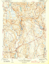
1943 Map of Old Mystic
USGS Topo · Published 1943About this map
The Pequot Indian Reservation and the Pequot Indian Reservation (Eastern Tribe) anchor this 1942 survey of the Connecticut landscape where Ledyard, North Stonington, and Groton meet. The map documents a rural coastal interior dominated by significant water bodies like Long Pond and Lake of Isles, surrounded by numerous named heights including Lantern Hill and Wintechog Hill. Early 1940s infrastructure is clearly visible, from the established settlement at Old Mystic to the network of local schools such as the Mystic Oral Sch, Cider Hill Sch, and Gallup Hill Sch. The terrain is deeply hydrological, featuring the expansive Assekonk Swamp and Cedar Swamp, which dictated the winding paths of roads like Indiantown Road and the Pequot Trail.
Find a feature on this map
73 named features on this map. Tap any name to fly to it.
Don’t see what you’re looking for? This feature index may not catch every label — zoom into the map to look around manually.
Map Details
Editions of this 1943 Old Mystic Map
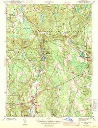
2 editions found
Other maps of this area

1889 · Stonington
USGS Topo · 1:62,500

1889 · Moosup
USGS Topo · 1:62,500

1892 · New London
USGS Topo · 1:62,500

1892 · Norwich
USGS Topo · 1:62,500

1893 · Moosup
USGS Topo · 1:62,500

1893 · Stonington
USGS Topo · 1:62,500

1893 · New London
USGS Topo · 1:62,500

1920 · Moosup
USGS Topo · 1:62,500

1921 · New London
USGS Topo · 1:62,500

1921 · Stonington
USGS Topo · 1:62,500