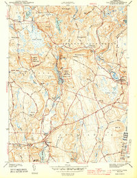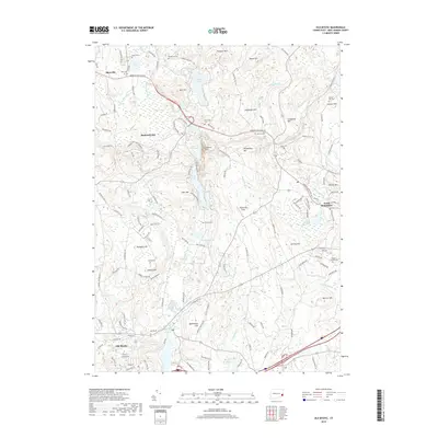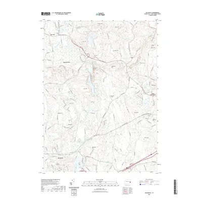
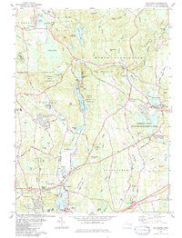
1983 Map of Old Mystic
USGS Topo · Published 1984About this map
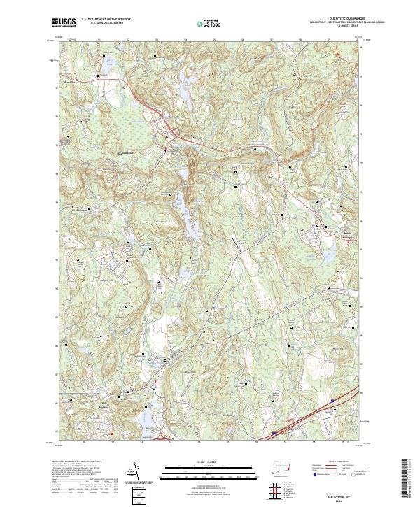
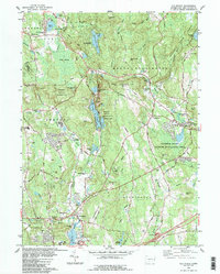
The settlement of Shewville stands as a focal point in this 1983 revision of the Connecticut landscape, situated north of the historic village of Old Mystic. The map illustrates a rural area defined by a mix of wooded uplands and low-lying wetlands, typical of the New London County terrain. This specific edition, field checked in 1977 and updated from 1980 aerial photography, documents the late twentieth-century residential and road patterns just before more intensive modern development altered the region. The map provides a detailed view of the local drainage and topographic contours, revealing how historical settlement patterns followed the natural ridges and brook valleys that traverse the quadrangle north toward Preston.
Find a feature on this map
1 named feature on this map. Tap any name to fly to it.
Don’t see what you’re looking for? This feature index may not catch every label — zoom into the map to look around manually.
Map Details
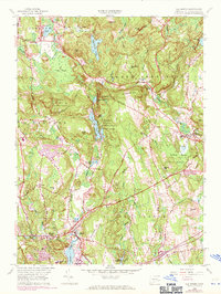
Editions of this 1983 Old Mystic Map
3 editions found
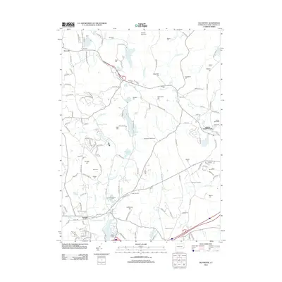
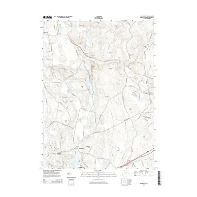
Historical Maps of Groton Through Time
8 maps found