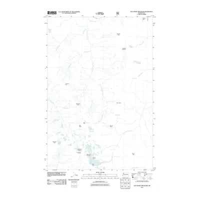
2011 Map of Old Snowy Mountain
USGS Topo · Published 2011About this map
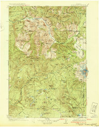
Old Snowy Mountain and the high ridges of the Cascades define this high-elevation landscape in Yakima County. The terrain is characterized by significant glacial features, including the Packwood Glacier and McCall Glacier, which feed the headwaters of the Clear Fork Cowlitz River and the North Fork Tieton River. Historical backcountry navigation is marked by a series of high-altitude crossings such as Tieton Pass, Elk Pass, and the Packwood Saddle.
Find a feature on this map
33 named features on this map. Tap any name to fly to it.
Don’t see what you’re looking for? This feature index may not catch every label — zoom into the map to look around manually.
Map Details
Editions of this 2011 Old Snowy Mountain Map
This is the sole edition of this map. No revisions or reprints were ever made.
Other maps of this area
1902 · Mount Aix
USGS Topo · 1:125,000
1904 · Mt Aix
USGS Topo · 1:125,000
1904 · Mount Adams
USGS Topo · 1:125,000
1907 · Mount Adams
USGS Topo · 1:125,000
1924 · Mt Rainier
USGS Topo · 1:96,000
1926 · Steamboat Mtn
USGS Topo · 1:125,000
1928 · Mt Rainier
USGS Topo · 1:125,000
1931 · Steamboat Mtn
USGS Topo · 1:125,000

1950 · Yakima
USGS Topo · 1:250,000

1958 · Yakima
USGS Topo · 1:250,000