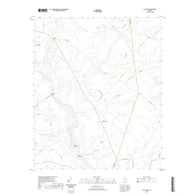
2020 Map of Old Town
USGS Topo · Published 2020About this map
The Ogeechee River meanders through the heart of this East Georgia landscape, defining the low-lying wetlands and floodplains of Louisville and its surroundings. The river's winding path creates distinct landforms such as the Upper Roundabout and Lower Roundabout, indicating a dynamic hydraulic environment that has historically shaped settlement patterns. Just east of the river, the small community of Old Town sits near the junction of several rural routes including Benefield Rd, serving as a central point for this agricultural region.
Find a feature on this map
48 named features on this map. Tap any name to fly to it.
Don’t see what you’re looking for? This feature index may not catch every label — zoom into the map to look around manually.
Map Details
Editions of this 2020 Old Town Map
This is the sole edition of this map. No revisions or reprints were ever made.
Other maps of this area

1919 · Gough
USGS Topo · 1:62,500

1920 · Stapleton
USGS Topo · 1:62,500

1948 · Stapleton
USGS Topo · 1:62,500

1948 · Gough
USGS Topo · 1:62,500

1948 · Louisville
USGS Topo · 1:24,000

1950 · Louisville
USGS Topo · 1:24,000
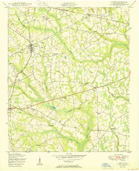
1950 · Gough
USGS Topo · 1:24,000

1950 · Kellys Pond
USGS Topo · 1:24,000

1953 · Athens
USGS Topo · 1:250,000

1957 · Macon
USGS Topo · 1:250,000