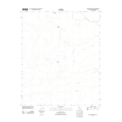
2012 Map of Old Woman Statue
USGS Topo · Published 2012About this map
Old Woman Statue and Carbonate Peak anchor this arid landscape in the eastern Mojave, where life and travel are defined by scattered water sources. This 2012 survey reveals a complex network of ephemeral drainage systems, including the long reaches of Honeymoon Wash, Paramount Wash, and Colton Wash. The reliance on local springs for historical navigation is evident through the naming of Old Ranch Spring, Dripping Spring, and Sweetwater Spring, which provided essential points of relief in this high-desert environment. High ground is marked by Mercury Mountain to the north and the deep incisions of Willow Spring Canyon. While modern vehicle access is represented by Sunflower Springs Rd and N Piute Rd, the topography remains largely defined by its natural hydrology and the namesake geological landmark at the southern end of the quadrangle.
Find a feature on this map
22 named features on this map. Tap any name to fly to it.
Don’t see what you’re looking for? This feature index may not catch every label — zoom into the map to look around manually.
Map Details
Editions of this 2012 Old Woman Statue Map
This is the sole edition of this map. No revisions or reprints were ever made.
Other maps of this area

1942 · Amboy
USGS Topo · 1:250,000

1943 · Amboy
USGS Topo · 1:250,000
1943 · Essex
USGS Topo · 1:62,500
1943 · Danby
USGS Topo · 1:62,500
1943 · Cadiz Lake
USGS Topo · 1:62,500

1954 · Needles
USGS Topo · 1:250,000
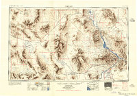
1956 · Needles
USGS Topo · 1:250,000
1956 · Milligan
USGS Topo · 1:62,500
1956 · Essex
USGS Topo · 1:62,500
1956 · Cadiz Lake
USGS Topo · 1:62,500