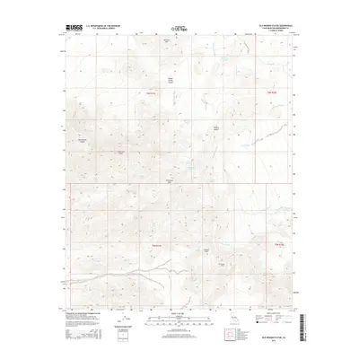
2015 Map of Old Woman Statue
USGS Topo · Published 2015About this map
Old Woman Statue serves as the namesake landmark for this arid reach of the Mojave Desert in eastern San Bernardino County. The landscape is defined by its verticality, rising from the broad washes like Colton Wash and Paramount Wash toward high points such as Mercury Mtn and Carbonate Peak. The distribution of water sources across this parched terrain suggests the essential stopovers for travelers and prospectors, with reliable points like Old Ranch Spring, Dripping Spring, and Honeymoon Spring scattered among the canyons. The presence of Carbonate Gulch and Scanlon Gulch points to the area's geological and potentially extractive interests, while the intricate drainage systems of Azalea Wash and Sunflower Wash reveal the complex hydrology that shapes this portion of the desert floor and its surrounding mountains.
Find a feature on this map
29 named features on this map. Tap any name to fly to it.
Don’t see what you’re looking for? This feature index may not catch every label — zoom into the map to look around manually.
Map Details
Editions of this 2015 Old Woman Statue Map
This is the sole edition of this map. No revisions or reprints were ever made.
Other maps of this area

1942 · Amboy
USGS Topo · 1:250,000

1943 · Amboy
USGS Topo · 1:250,000
1943 · Essex
USGS Topo · 1:62,500
1943 · Danby
USGS Topo · 1:62,500
1943 · Cadiz Lake
USGS Topo · 1:62,500

1954 · Needles
USGS Topo · 1:250,000
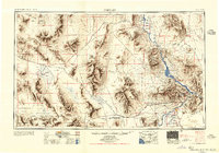
1956 · Needles
USGS Topo · 1:250,000
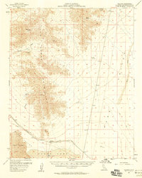
1956 · Milligan
USGS Topo · 1:62,500
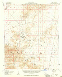
1956 · Essex
USGS Topo · 1:62,500
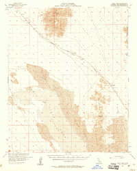
1956 · Cadiz Lake
USGS Topo · 1:62,500