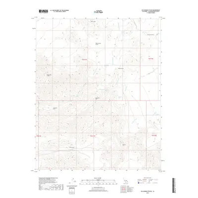
2018 Map of Old Woman Statue
USGS Topo · Published 2018About this map
Old Woman Statue stands as a landmark within this arid reach of the Mojave Desert in San Bernardino County. The landscape is defined by its dependency on scattered water sources, marked by numerous named springs such as Sunflower Spring, Honeymoon Spring, and Old Ranch Spring. These natural features, along with Dripping Spring and Bert Spring, provide critical points of reference in a terrain dominated by significant peaks and deep drainage cuts.
Find a feature on this map
32 named features on this map. Tap any name to fly to it.
Don’t see what you’re looking for? This feature index may not catch every label — zoom into the map to look around manually.
Map Details
Editions of this 2018 Old Woman Statue Map
This is the sole edition of this map. No revisions or reprints were ever made.
Other maps of this area

1942 · Amboy
USGS Topo · 1:250,000

1943 · Amboy
USGS Topo · 1:250,000
1943 · Essex
USGS Topo · 1:62,500
1943 · Danby
USGS Topo · 1:62,500
1943 · Cadiz Lake
USGS Topo · 1:62,500

1954 · Needles
USGS Topo · 1:250,000
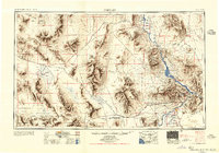
1956 · Needles
USGS Topo · 1:250,000
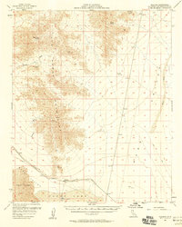
1956 · Milligan
USGS Topo · 1:62,500
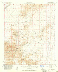
1956 · Essex
USGS Topo · 1:62,500
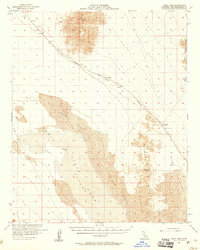
1956 · Cadiz Lake
USGS Topo · 1:62,500