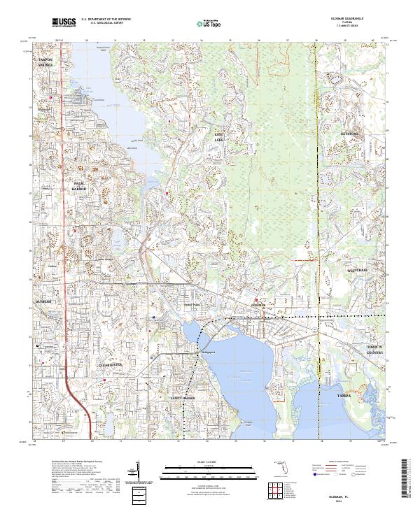
2024 Map of Oldsmar
USGS Topo · Published 2024About this map
Safety Harbor and the surrounding coastline of Old Tampa Bay define this modern landscape where suburban growth meets the intricate waterways of the Florida Gulf Coast. The area is heavily marked by the expansion of residential communities like Westchase and East Lake, which have integrated with natural features such as the Lake Tarpon Canal and Brooker Creek. These developments represent a late-twentieth-century shift from the region's agricultural roots to a dense suburban network.
Find a feature on this map
53 named features on this map. Tap any name to fly to it.
Don’t see what you’re looking for? This feature index may not catch every label — zoom into the map to look around manually.
Map Details
Editions of this 2024 Oldsmar Map
This is the sole edition of this map. No revisions or reprints were ever made.
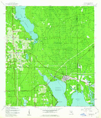
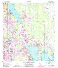
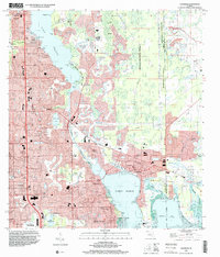
Historical Maps of Prestwick at The Eagles Through Time
5 maps found