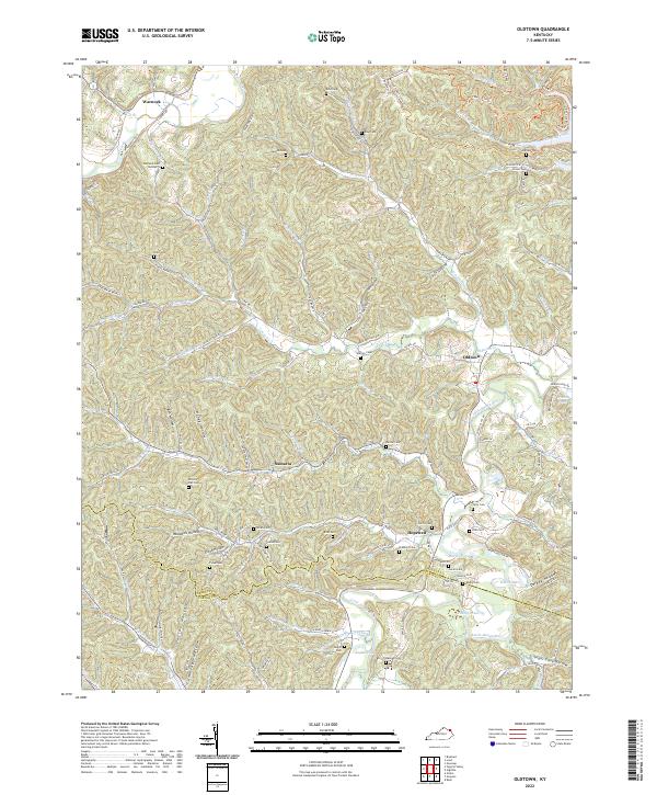
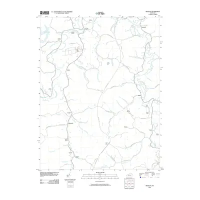
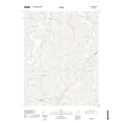
2022 Map of Oldtown
USGS Topo · Published 2022About this map
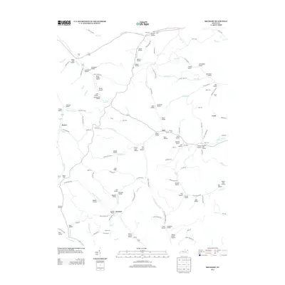
Tygarts Creek and the Little Sandy River carve through the deep ridges of Greenup and Carter Counties, anchoring a landscape defined by isolated hollows and long-established family cemeteries. The small communities of Warnock, Samaria, Hopewell, and Oldtown are connected by winding routes like Laurel Rd and State Hwy 1306. This 2022 survey documents the persistent rural character of the region, where named terrain features such as Honey Hollow, Darbey Hollow, and Anglin Flat reflect generations of local land use.
Find a feature on this map
145 named features on this map. Tap any name to fly to it.
Don’t see what you’re looking for? This feature index may not catch every label — zoom into the map to look around manually.
Map Details
Editions of this 2022 Oldtown Map
This is the sole edition of this map. No revisions or reprints were ever made.
Historical Maps of Warnock Through Time
26 maps found
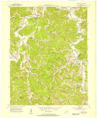
1949 Brushart
Greenup County, KY
1950 Brushart
Greenup County, KY
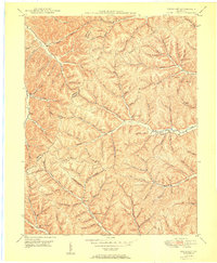
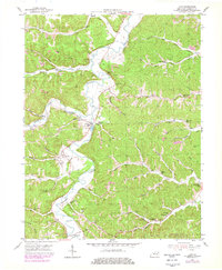
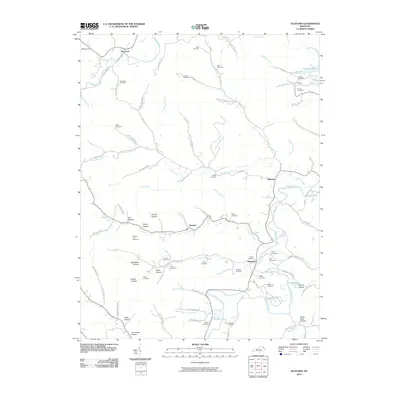
1953 Argillite
Greenup County, KY
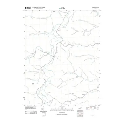
1953 Load
Greenup County, KY
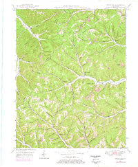
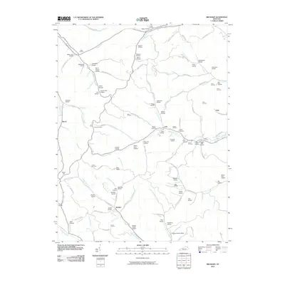
1953 Oldtown
Greenup County, KY
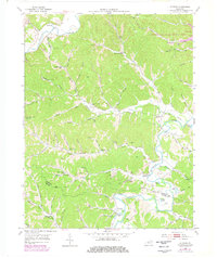
1972 Argillite
Greenup County, KY
2010 Argillite
Greenup County, KY
2010 Brushart
Greenup County, KY
2010 Load
Greenup County, KY
2010 Oldtown
Greenup County, KY
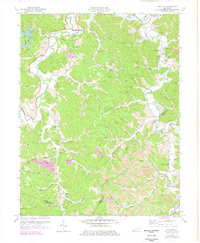
2013 Argillite
Greenup County, KY
2013 Brushart
Greenup County, KY
2013 Load
Greenup County, KY
2013 Oldtown
Greenup County, KY
2016 Argillite
Greenup County, KY
2016 Brushart
Greenup County, KY
2016 Load
Greenup County, KY
2016 Oldtown
Greenup County, KY
2019 Argillite
Greenup County, KY
2019 Brushart
Greenup County, KY
2019 Load
Greenup County, KY
2019 Oldtown
Greenup County, KY
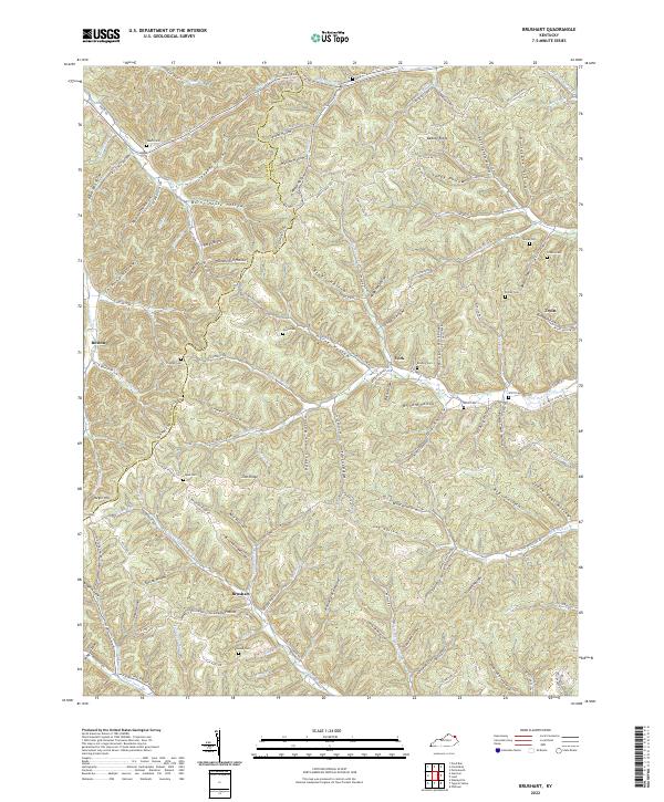
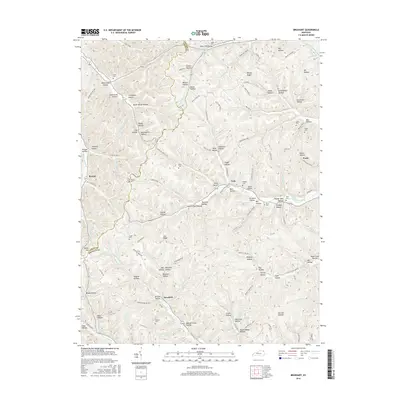
2022 Brushart
Greenup County, KY
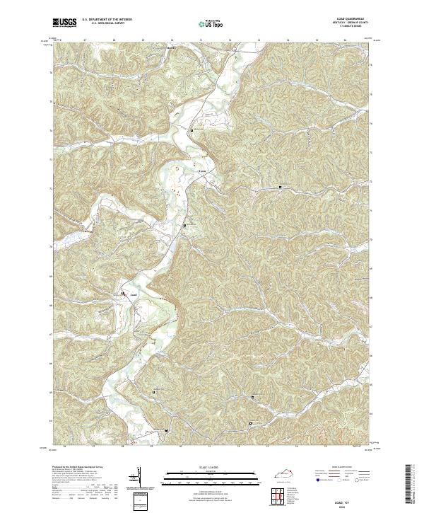
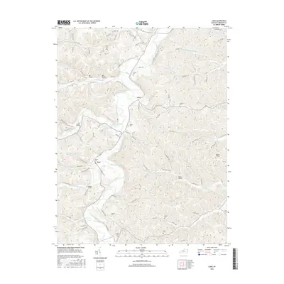
2022 Load
Greenup County, KY
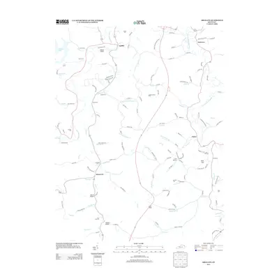
2022 Oldtown
Greenup County, KY
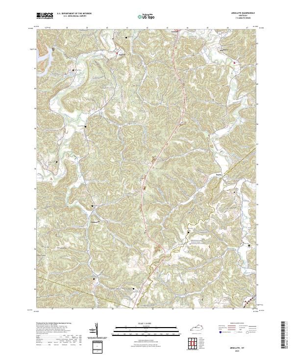
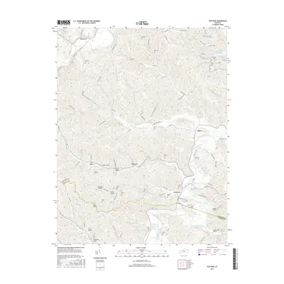
2023 Argillite
Greenup County, KY