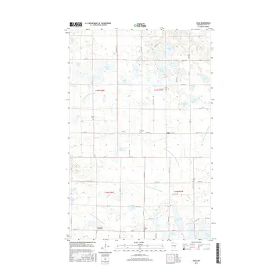
2016 Map of Olga
USGS Topo · Published 2016About this map
Glacial lakes and an extensive network of drainage ditches define this rural landscape on the border of Polk and Clearwater counties. The area around Olga is characterized by numerous family-named water bodies, such as Sorby Lake, Johnson Lake, and Vigoren Lake, reflecting the Scandinavian heritage of the early settlers. This heritage is further evidenced by several Lutheran burial grounds scattered throughout the townships, including Froen Lutheran Cem and Salem Cem.
Find a feature on this map
61 named features on this map. Tap any name to fly to it.
Don’t see what you’re looking for? This feature index may not catch every label — zoom into the map to look around manually.
Map Details
Editions of this 2016 Olga Map
This is the sole edition of this map. No revisions or reprints were ever made.
Other maps of this area
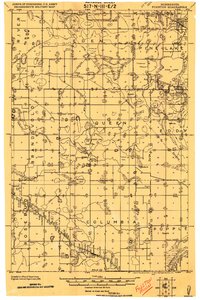
1919 · Fosston
USGS Topo · 1:62,500
1919 · Grit
USGS Topo · 1:62,500
1919 · Winsor
USGS Topo · 1:62,500

1954 · Bemidji
USGS Topo · 1:250,000

1957 · Bemidji
USGS Topo · 1:250,000

1958 · Bemidji
USGS Topo · 1:250,000
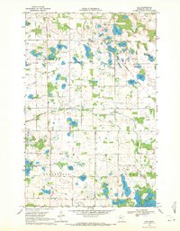
1969 · Olga
USGS Topo · 1:24,000
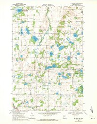
1969 · Mc Intosh NE
USGS Topo · 1:24,000
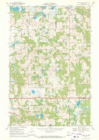
1969 · Fosston SE
USGS Topo · 1:24,000
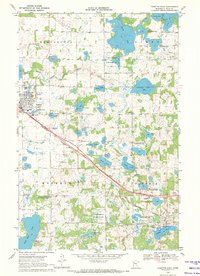
1969 · Fosston East
USGS Topo · 1:24,000