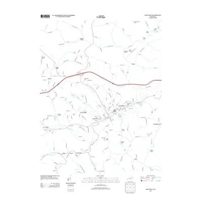
2013 Map of Olive Hill
USGS Topo · Published 2013About this map
Tygarts Creek meanders through this portion of Carter County, shaping the development of Olive Hill and its surrounding communities. The landscape is defined by deep hollows and prominent ridges, including Blueberry Ridge and Garvin Ridge, where small settlements and family farmsteads are connected by a network of winding roads like Tick Ridge Road. The area shows a clear pattern of distributed rural habitation in places like Smoky Valley, Lawton, and Limestone, each clustered near local water sources or along valley floors.
Find a feature on this map
181 named features on this map. Tap any name to fly to it.
Don’t see what you’re looking for? This feature index may not catch every label — zoom into the map to look around manually.
Map Details
Editions of this 2013 Olive Hill Map
This is the sole edition of this map. No revisions or reprints were ever made.
Other maps of this area
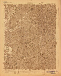
1929 · Morehead
USGS Topo · 1:48,000
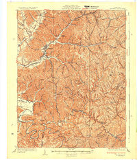
1935 · Morehead
USGS Topo · 1:62,500
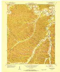
1950 · Head Of Grassy
USGS Topo · 1:24,000
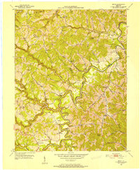
1950 · Bruin
USGS Topo · 1:24,000
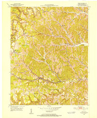
1950 · Grahn
USGS Topo · 1:24,000
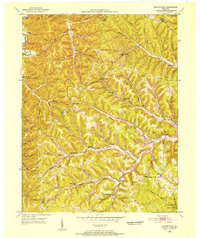
1950 · Wesleyville
USGS Topo · 1:24,000
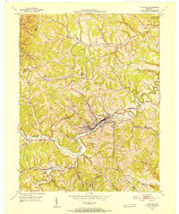
1950 · Olive Hill
USGS Topo · 1:24,000
1950 · Ault
USGS Topo · 1:24,000
1950 · Tygarts Valley
USGS Topo · 1:24,000
1951 · Soldier
USGS Topo · 1:24,000