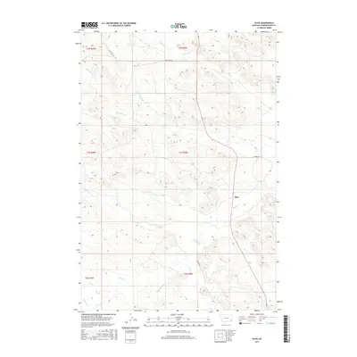
2017 Map of Olive
USGS Topo · Published 2017About this map
Olive serves as the central hub for this rural portion of Powder River County, where the dry-land drainage systems of the Montana high plains dictate the geography. The landscape is defined by the winding course of Mizpah Cr, which collects numerous tributaries including Ash Cr, Second Cr, and Wolf Cr. This network of seasonal waterways reflects the pastoral ranching economy of the region, where water access and topographic elevation are the primary drivers of land use. Transport through this prairie terrain is anchored by Mizpah Rd and Camp Creek Rd, following the natural contours of the drainages. The map reveals the intricate Public Land Survey System grid, partitioning the vast reaches of t3s r50e and surrounding townships, a vital resource for tracing property lines and homestead history in this sparsely populated cattle country.
Find a feature on this map
22 named features on this map. Tap any name to fly to it.
Don’t see what you’re looking for? This feature index may not catch every label — zoom into the map to look around manually.
Map Details
Editions of this 2017 Olive Map
This is the sole edition of this map. No revisions or reprints were ever made.
Other maps of this area
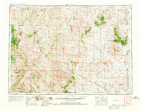
1954 · Ekalaka
USGS Topo · 1:250,000
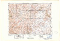
1956 · Ekalaka
USGS Topo · 1:250,000
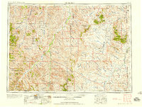
1958 · Ekalaka
USGS Topo · 1:250,000
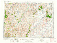
1965 · Ekalaka
USGS Topo · 1:250,000
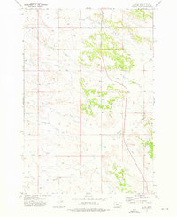
1973 · Olive
USGS Topo · 1:24,000
1973 · Moonlight Creek
USGS Topo · 1:24,000
1973 · Box Elder Creek
USGS Topo · 1:24,000
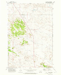
1973 · Coalwood
USGS Topo · 1:24,000
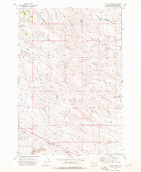
1973 · Leslie Creek
USGS Topo · 1:24,000
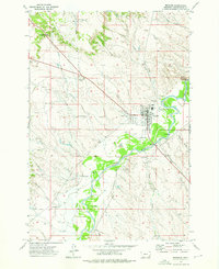
1973 · Broadus
USGS Topo · 1:24,000