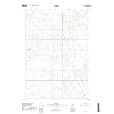
2020 Map of Olive
USGS Topo · Published 2020About this map
Olive serves as the central hub of this Powder River County landscape, situated at the intersection where Mizpah Rd meets the regional highway. The terrain is defined by an intricate drainage system that feeds into Mizpah Cr, which winds through the eastern and southern portions of the quadrangle. High country ridges separate the various branches of Ash Cr, including its northern and southern forks, creating a distinct topographical pattern of narrow valleys and broad uplands common to this part of Montana.
Find a feature on this map
23 named features on this map. Tap any name to fly to it.
Don’t see what you’re looking for? This feature index may not catch every label — zoom into the map to look around manually.
Map Details
Editions of this 2020 Olive Map
This is the sole edition of this map. No revisions or reprints were ever made.
Other maps of this area
1954 · Ekalaka
USGS Topo · 1:250,000
1956 · Ekalaka
USGS Topo · 1:250,000
1958 · Ekalaka
USGS Topo · 1:250,000
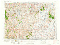
1965 · Ekalaka
USGS Topo · 1:250,000
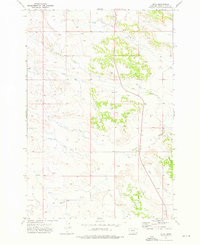
1973 · Olive
USGS Topo · 1:24,000
1973 · Moonlight Creek
USGS Topo · 1:24,000
1973 · Box Elder Creek
USGS Topo · 1:24,000
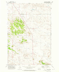
1973 · Coalwood
USGS Topo · 1:24,000
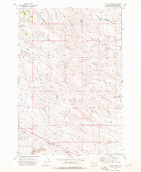
1973 · Leslie Creek
USGS Topo · 1:24,000
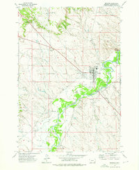
1973 · Broadus
USGS Topo · 1:24,000