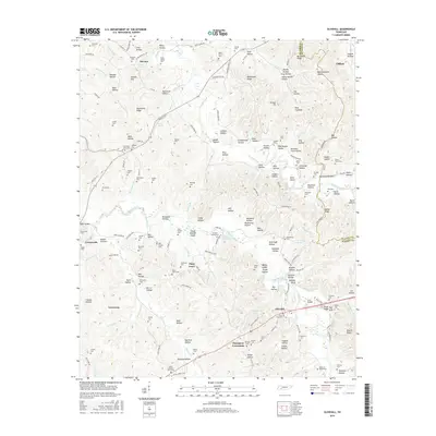
2016 Map of Olivehill
USGS Topo · Published 2016About this map
Hardin Creek carves a winding path through this corner of Middle Tennessee, defining a landscape of hollows and ridges where the boundaries of Hardin and Wayne counties meet. This area is dotted with numerous family cemeteries and small rural settlements, including Havana, Piney Grove, and Olivehill. The rural character is reinforced by landmarks such as Mountain View Ch and Bethlehem Ch, which served as anchors for the surrounding communities.
Find a feature on this map
183 named features on this map. Tap any name to fly to it.
Don’t see what you’re looking for? This feature index may not catch every label — zoom into the map to look around manually.
Map Details
Editions of this 2016 Olivehill Map
This is the sole edition of this map. No revisions or reprints were ever made.
Other maps of this area

1905 · Waynesboro
USGS Topo · 1:125,000

1936 · Savannah
USGS Topo · 1:24,000

1936 · Wolf Pit Ridge
USGS Topo · 1:24,000

1936 · Hookers Bend
USGS Topo · 1:24,000

1936 · Eagle Creek
USGS Topo · 1:24,000

1936 · Thurman
USGS Topo · 1:24,000

1936 · Olivehill
USGS Topo · 1:24,000

1936 · Bath Springs
USGS Topo · 1:24,000

1936 · Clifton
USGS Topo · 1:24,000

1936 · Martins Mills
USGS Topo · 1:24,000